Heat, Haze & Humidity To Be Washed Away By Rain
Posted May 25, 2007 12:00 pm.
This article is more than 5 years old.
If you hate the heat, the humidity and the smog, have we got a weekend for you. After setting a new temperature record on Thursday – and heading for another one on Friday – the GTA is finally going to get a break from our early taste of summer.
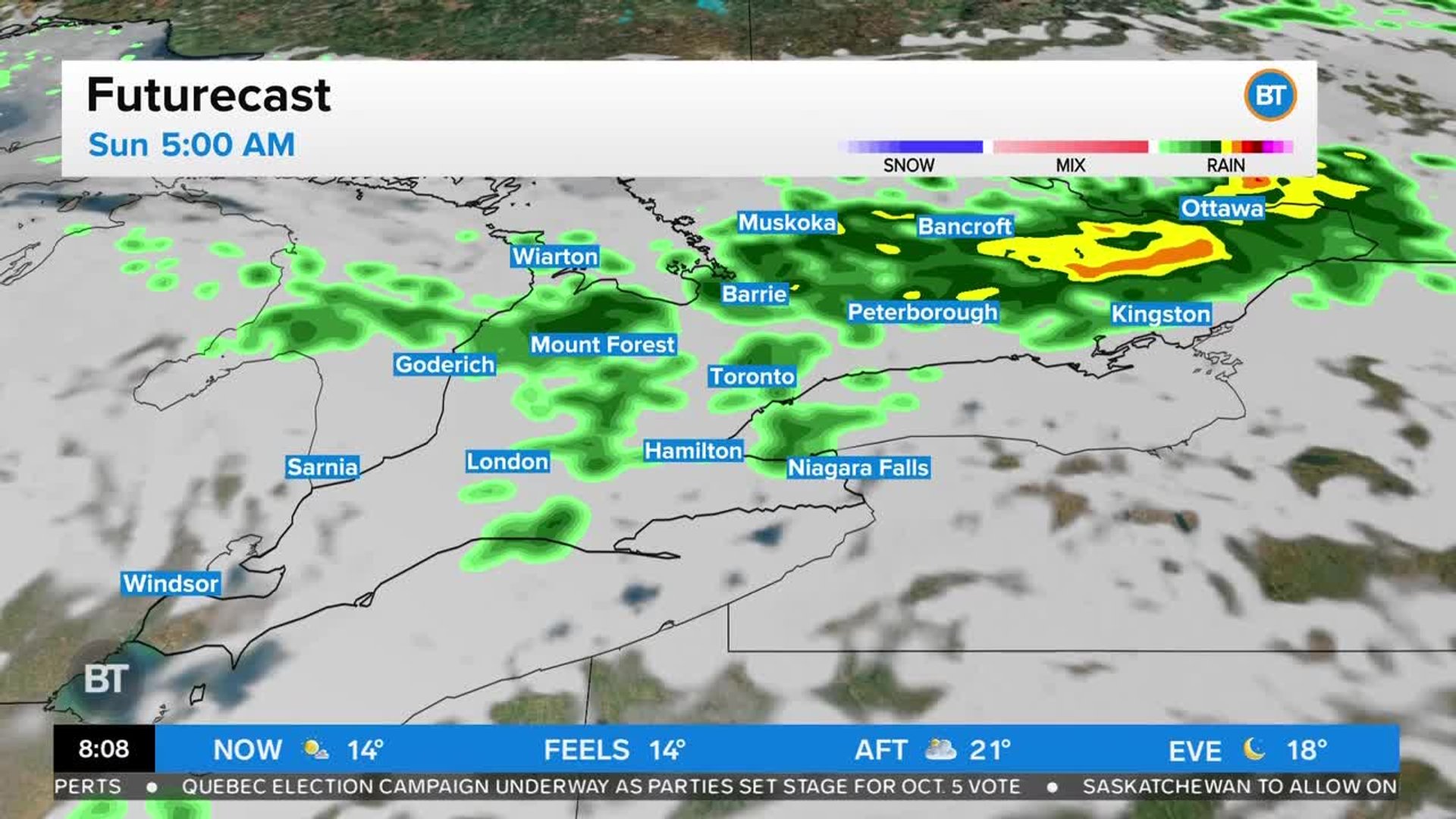
A cold front moving into Toronto in the afternoon will trigger thunderstorms over a wide area, some of which could cause heavy downpours depending on where you are. That will be followed by much cooler and less humid air, which will reduce the temperatures from an expected high of 29C to a low of just 12C overnight. It will also sweep away the chemical soup that’s led to two straight days of a smog alert for the city and cancel the heat alert that was declared 24 hours ago.
The weekend could be a mixed bag – sunny and warm with comfortable highs near 24C, but while the thermometer will stay steady for Sunday, a shower could put a damper on things. Next week looks like a good one, with temps well above the 21C norm, and only a small chance of showers at this point.
But if you hated these last few days, get ready for a summer rerun. Long range forecasts suggest it’s going to a long, hot and smoggy summer.