Toronto could see first snowfall Sunday evening, areas north of the city expecting up to 25 cm
Posted November 13, 2022 7:49 am.
Last Updated November 13, 2022 6:54 pm.
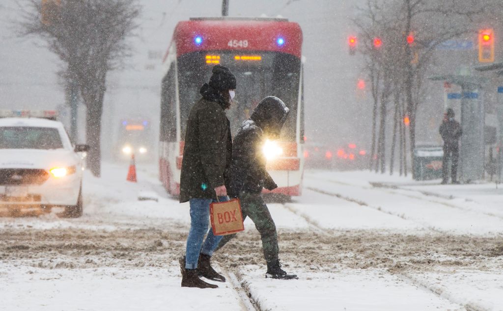
Toronto could see its first snowfall Sunday evening with areas north of city expecting up to 25 centimetres of snow.
Environment Canada has issued a snow squall warning for the areas of Barrie, Collingwood, Grey-Bruce, and Huron-Perth counties where 15 and 25 centimetres of snow is expected.
The snow is expected to start Sunday evening, weakening through the day on Monday. Dufferin County and Innisfill could see between eight and 12 centimetres where a weather advisory has been put into effect.
The weather agency’s warning said local snowfall rates could reach between 2 to 4 cm per hour, meaning there could be reduced visibility on the roadways.
In Toronto, rain showers will be mixed with flurries throughout the day as temperatures fluctuate.
The high is expected to reach 4 C and the overnight low in minus 2 C. Only around one centimetre of snow is expected.
The next chance for snow in the city is Tuesday when two to four centimetres is expected.