Toronto, parts of GTA remain under fog advisory with near-zero visibility
Posted November 2, 2022 4:59 pm.
Last Updated November 3, 2022 6:02 am.
It will be a tricky drive in the GTA on Thursday morning with near-zero visibility expected in some areas because of thick, dense fog.
Environment Canada has issued a fog advisory for areas including Toronto, Mississauga, Oakville, Burlington and Hamilton.
CityNews meteorologist Jill Taylor says the fog will likely impact the entire morning rush.
“It may take until late morning before we get rid of the dense fog patches,” says Taylor. “Then we’ll get into some sunshine.”
Fog Advisory continues this Thursday morning for #Toronto GTA and a good portion of southern Ontario. May take all morning, or longer to dissipate in some areas. Heads up for strong wind tomorrow and Saturday
— Jill Taylor (@JillTaylorCity) November 3, 2022
Canada’s weather agency issued the advisory on Wednesday evening as fog moved in from Lake Ontario and moved further inland as the evening progressed.
“Visibility may be significantly and suddenly reduced to near zero,” Canada’s weather agency noted. “Travel is expected to be hazardous due to reduced visibility in some locations.”
Peel regional police also issued a call to action to keep drivers safe, saying visibility was particularly bad in Peel Region late on Wednesday.
“Please ensure that you are driving with your full lighting system on, slow down, and pay attention to pedestrians that are crossing at intersections,” the police force tweeted.
Temperatures headed for gradual warm-up by weekend
Southern Ontario is expected to be greeted by above-seasonal temperatures and sunny skies for the rest of the week into the weekend.
Toronto will see a forecasted high of 14 C on Thursday, with temperatures rising to potentially record-setting highs on Friday, which could hit 20 C.
This weekend the sunny stretch will continue as temperatures reach 18 C by Saturday; a day during which wind gusts will become gradually stronger.
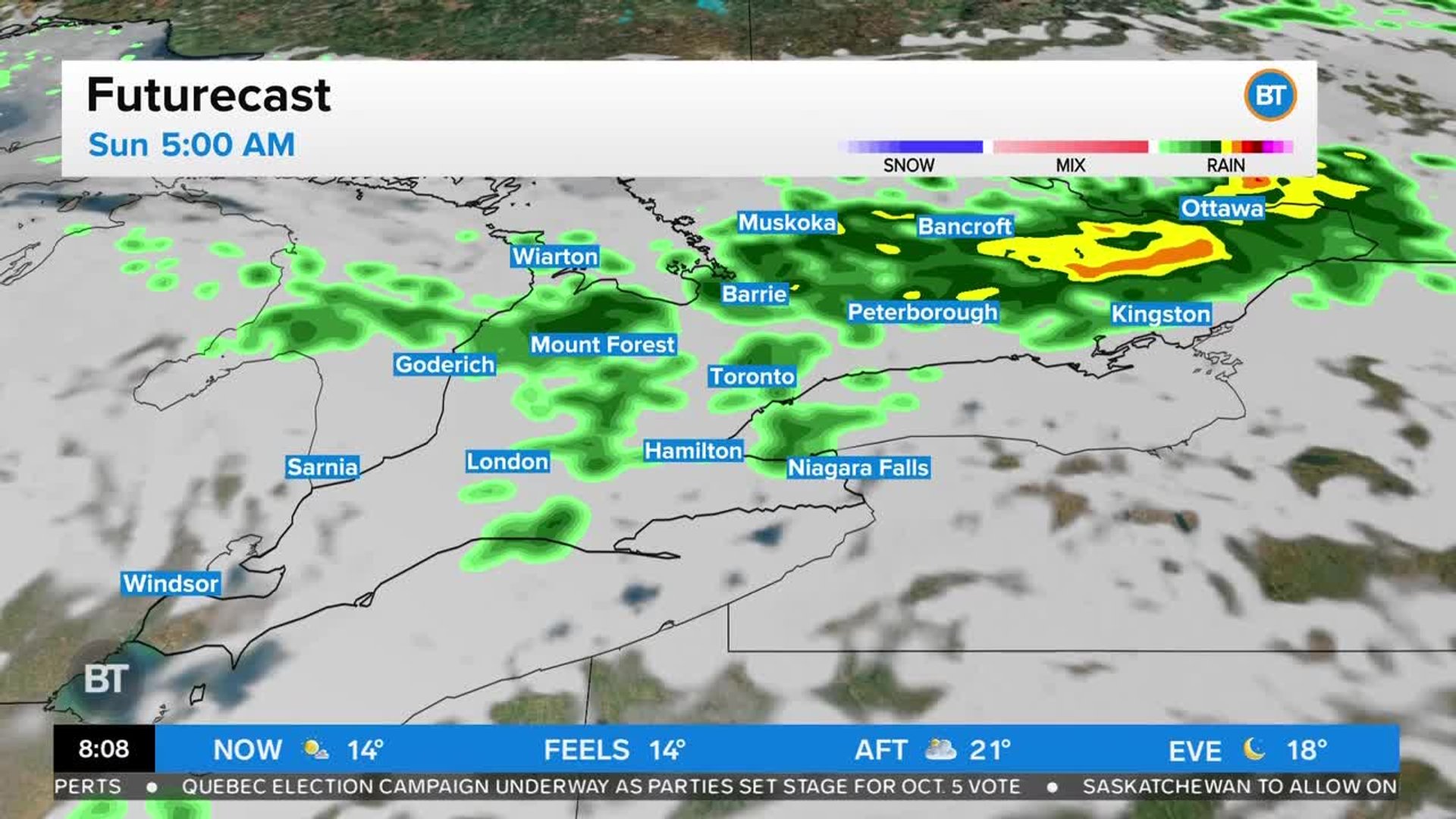
Meteorologist Natasha Ramsahai says the next round of rain could come on Saturday night before clearing the way for sunny skies and a potential high of 14 C on Sunday.
“Maybe 5 or 10 millimetres of rain [on Saturday], but the wind from that line of rain is going to be intense,” Ramsahai said. “I think an 80 or 90 km/h wind gust is possible.”