Cold weather, rain on the horizon after milder stretch in Toronto, GTA
Posted November 16, 2023 4:13 pm.
Last Updated November 27, 2023 4:45 pm.
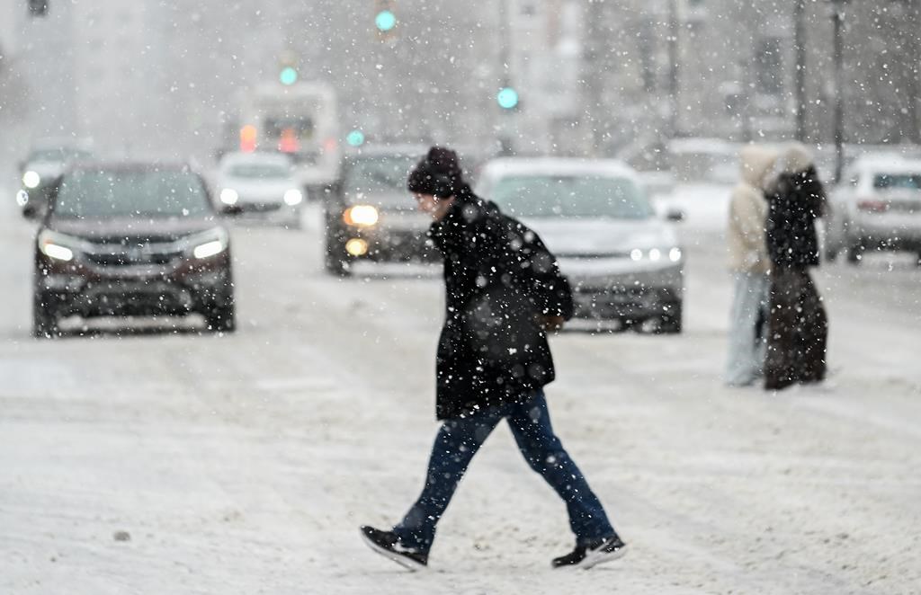
Here’s to hoping you were able to enjoy the recent stretch of sweater weather felt throughout Toronto and much of southern Ontario this week, as that will be coming to an end for now.
Sunshine and warmer temperatures will suddenly conclude, with 5 to 10 mm of rain on the way for Toronto and the GTA to end the week. While daytime temperatures should reach 14 C Friday, a drop of a few degrees will come on Saturday, with a forecasted high of 7 C that will feel more like 4 C.
It will be even cooler on Sunday, with a daytime high of 6 C but feeling closer to 2 C. The start of next week could see a brisk day back to work and school, as Arctic air will lead to a forecasted high of 4 C, though it will feel like 1 C.
If you’re planning on doing any holiday decorating this weekend, thankfully, after the wet weather on Friday, the next 72 hours will be mostly sunny.
Canadian forecasters are watching the potential for a stretch of colder, possibly wintry weather for parts of the region. Milder weather is expected to return in early December, though that is subject to change.
In terms of the first snowfall, don’t bank on it just yet. Even if the snow makes it into the region, accumulations aren’t expected to be much.
The average November snowfall at Toronto Pearson Airport is around 9 cm. The highest recorded November snowfall in Toronto was 61 cm, which occurred in 1940.