Thunderstorm warnings end but humidity sticks around to kick off August long weekend
Posted August 2, 2024 10:22 am.
Last Updated August 2, 2024 5:17 pm.
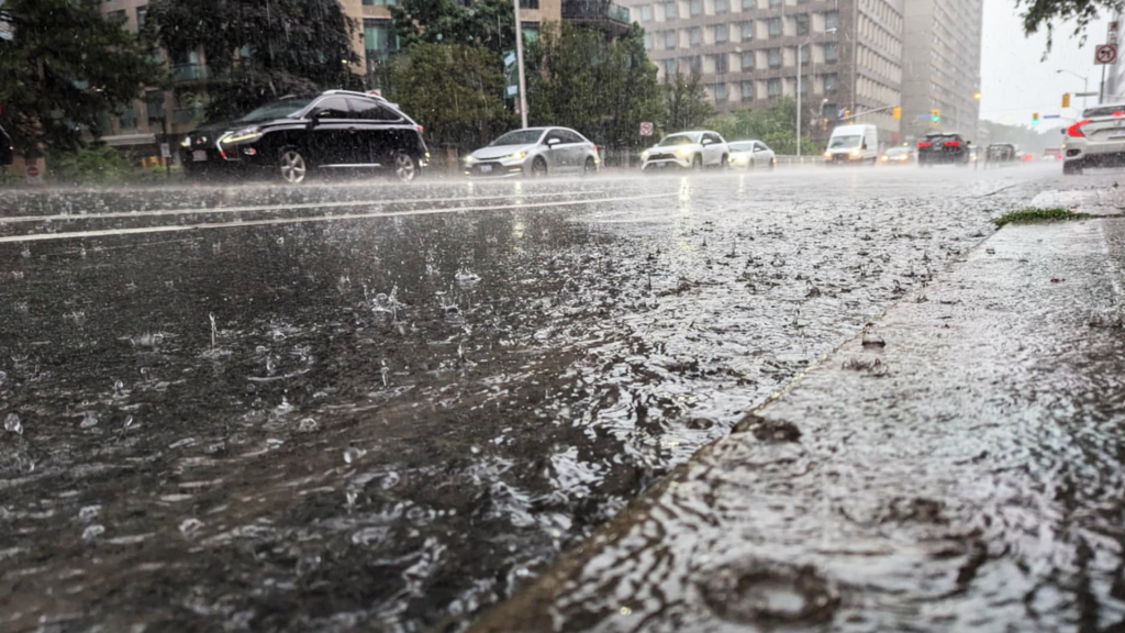
Environment Canada has cancelled most special weather statements warning of heavy rain and thunderstorms across southern Ontario.
As of 5 p.m. Friday, just a small southwestern portion of the province was under a warning for slow moving thunderstorms that could produce locally heavy rainfall.
The expected drenching comes after July broke the record for the wettest month ever recorded at Toronto Pearson Airport.
The latest special weather statement comes on the heels of a heat warning, which was issued on Wednesday and lifted on Thursday night.
However, the humidity is not moving out anytime soon and could last until Sunday.
“It will take awhile to totally flush out the humidity this weekend,” 680 NewsRadio meteorologist Jill Taylor says.
Although the high for Friday is 27 C it will feel like 36 C when the humidity is factored in.
The unsettled weather is expected to continue on Saturday. Taylor says there is a slight chance of showers or thunderstorms after 5 p.m. A high of 30 C is in store but Taylor says it will be less humid.
Late-evening showers are also possible on Sunday, as the humidex soars to near 35.
The region will finally get a break from the humidity on Monday, which is the Civic Holiday, as more refreshing air moves in with a comfortable high of 26 C but a few morning showers are possible.
Taylor also says a smoky haze from the wildfire smoke in Western Canada could cover Toronto and the GTA throughout the long weekend.