Strong wind warning, plunging nighttime temps in Toronto on Sunday

Posted November 29, 2025 9:55 pm.
Last Updated November 30, 2025 6:41 pm.
Strong winds and rain have replaced snow across Toronto and the GTHA, ahead of plunging temperatures on Sunday.
A special weather statement issued by Environment Canada ended Sunday evening after the agency said strong winds with gusts of up to 70 km/h were likely in place for areas around the GTA.
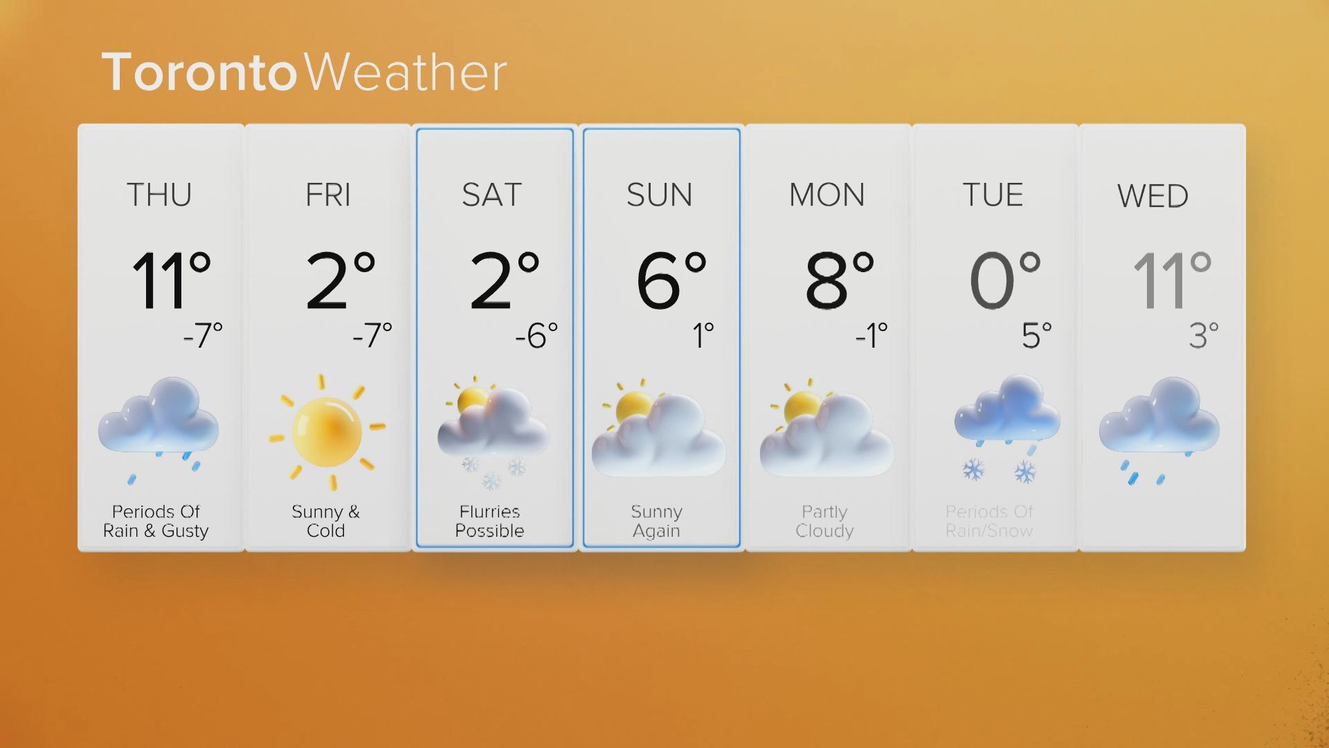
The temperature in Toronto is expected to reach a high of 4 C on Sunday with a low of – 6 C, feeling like -12, with the wind chill.
Due to the dropping temperatures, the City of Toronto says its five warming centres will remain open.
Wintry weather continues to hammer the rest of southern Ontario, with snowfall warnings in place for much of the area, including parts of Peel, Halton and all of Durham Region.
Most areas will see an additional 2 to 4 cm with up to 5 cm over the higher terrain north of Lake Ontario, including the Oak Ridges Moraine, before easing to scattered flurries this afternoon.
“Travel will likely be challenging, and visibility will likely be reduced at times,” says Environment Canada.
Environment Canada says multiple rounds of snow last week already dumped just shy of 60 centimetres off Lake Huron, with areas west of Kitchener seeing closer to 30 centimetres.
Files from The Canadian Press were used in this report