Yellow level thunderstorm warning ended for Toronto, parts of GTHA
Posted August 11, 2026 3:16 pm.
Last Updated August 12, 2026 3:53 pm.
Environment and Climate Change Canada says the yellow level warning for thunderstorms for some parts of the GTHA has ended.
A severe thunderstorm watch stays in place for parts of the GTHA including the City of Toronto, Hamilton, Niagara, Oshawa and Halton-Peel region.
The agency says weather conditions are favourable for wind gusts up to 100 kilometres an hour, toonie sized hail and and heavy rain of more than 60 millimetres in some areas, between 1 p.m. and 7 p.m.
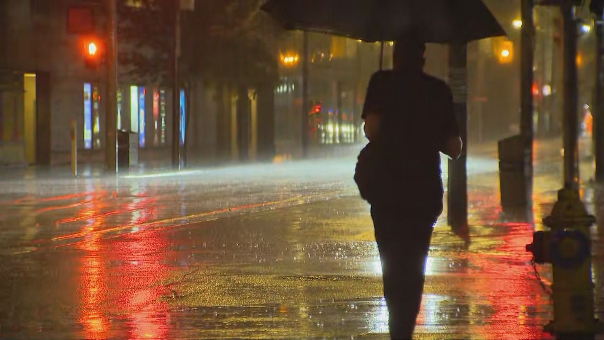
Toronto will see on and off heavy downpours throughout the afternoon as a frontal boundary, which is separating the humid air from the not-so-humid air, approaches and acts as a trigger for thunderstorms. The risk remains in place until the early evening hours.
The first round of storms is expected to pass through Toronto between 9 to 11 a.m. followed by a break in the afternoon. Another round is expected between 3 to 6 p.m. These are estimated storm time windows and they could shift throughout the day. Expect changing weather conditions throughout the day and be prepared to take cover with short notice.
Conditions are clear for the rest of the night in the city, while areas west of Toronto will possibly see some evening storms as well.
Drivers are advised to drive as per the conditions and if you’re looking to get out on the water, it might not be the best day as conditions can change quickly and unexpectedly.
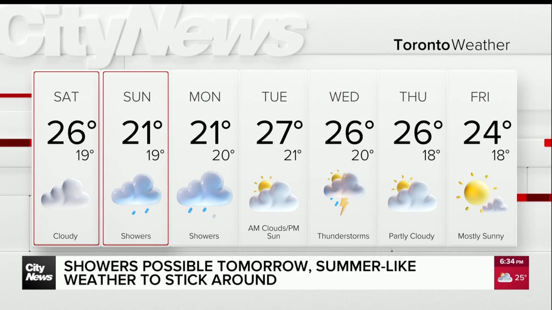
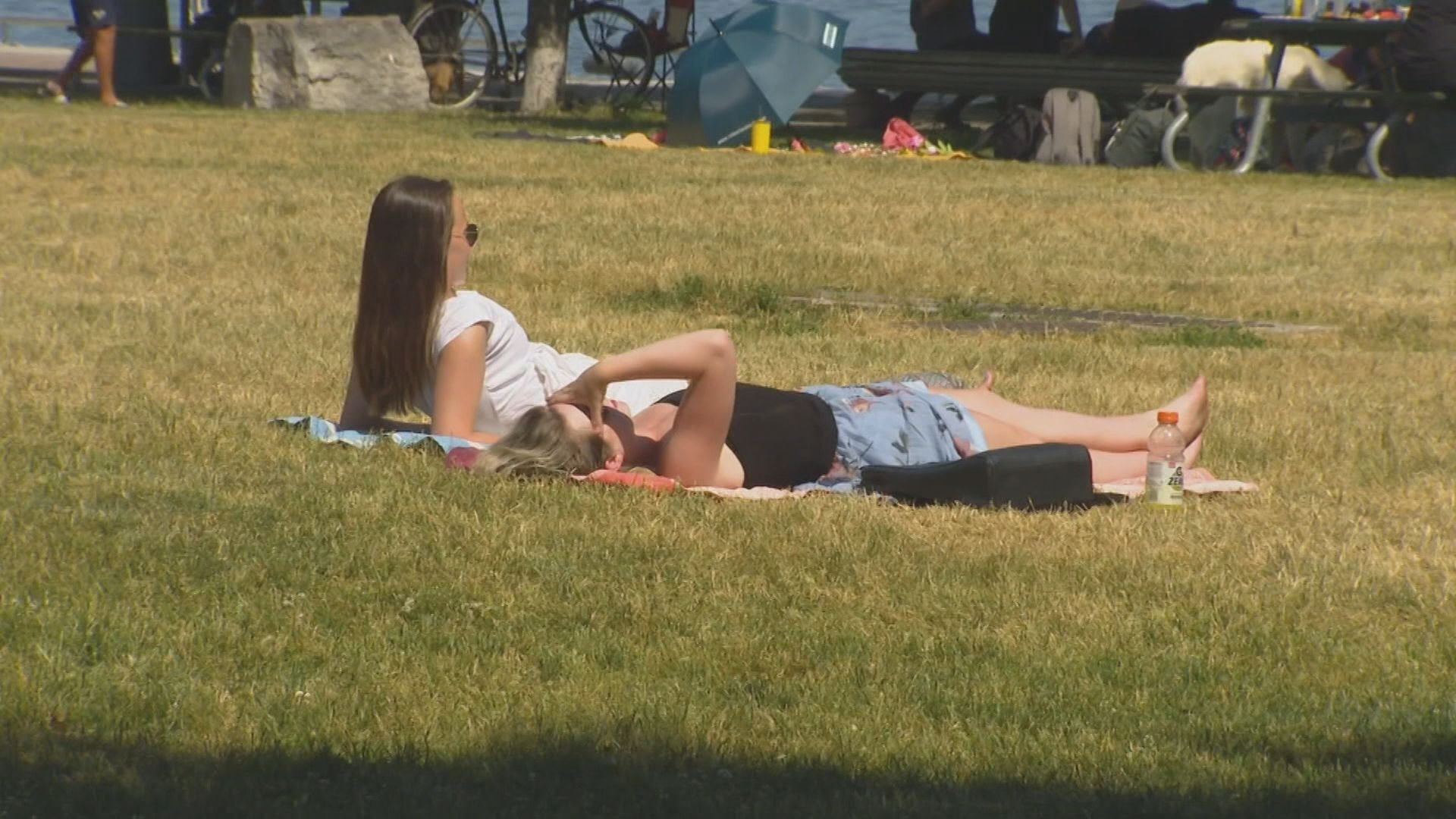
Thursday will be partly cloudy with more sunshine for the east GTA and a high near 29 C, while Friday and Saturday are mainly sunny with highs expected to be between 24 to 26 C.
Mugginess drops on Friday with a northeast wind direction but returns with rain on Sunday with afternoon showers and a humidex of 33.