Snowfall warning lifted for GTA
Posted February 24, 2012 4:02 pm.
This article is more than 5 years old.
TORONTO, Ont. – Environment Canada has cancelled its snowfall warning for Toronto, including other areas of the GTA, Friday.
However, a snowfall warning remains in effect for areas north of the GTA: Barrie, Orillia, Parry Sound, Muskoka, Haliburton, Peterborough and Ottawa.
Despite the lack of snow in some areas, there were some school bus cancellations and school closures. Details on the 680News Storm Centre page.
———————————————-
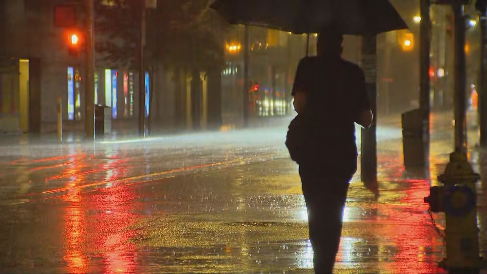
The GTA dodged a major winter storm for the morning commute, with rain falling instead of snow, despite a snowfall warning by Environment Canada, which has since been lifted. Share your thoughts with us. Tweet us using #680storm and your tweets will appear below:
———————————————-
So, what caused this dud of a storm? Environment Canada experts said the temperature stayed just a few degrees too warm, which meant mostly rain in the GTA, instead of being pounded by snow.
Have a question about meteorology, weather tracking or how they pulled together their storm forecasts for today?CityNews meteorologists Adam Stiles & Natasha Ramsahai will be LIVE here from 6 pm to 7 pm to answer your weather questions.
Many of us woke up wanting answers, and it appears even Environment Canada was caught off-guard as well.
“We did have a couple of things happen overnight last night that weren’t in the original forecast. The system was supposed to be tracking to the south of Lake Erie — keep Toronto just on the cold side of the storm and allow the stuff to fall as snow,” Environment Canada meteorologist Geoff Coulson said.
“Overnight, the low slowed down and actually has begun to track a little further north, and that allowed some warmer air to get into the system […] so areas like the GTA, the north side of Lake Ontario, a good portion of southwestern Ontario seen a mix of rain and snow, and in some cases, more rain,” he added.
Coulson told 680News he realizes that many people could have been inconvenienced by the forecast, but said forecasters work with the best information available at the time.
On Thursday, Environment Canada issued a snowfall warning for much of southern Ontario, including the GTA.
In terms of whether the weather agency should have issued a watch, as opposed to a warning, Coulson said “the way things were shaping out with the way the models were indicating […] the forecasters were confident enough to say that this was going to be a snow event for a big portion of southern Ontario.”
“Unfortunately, with these systems when we’re going to be on the cusp of the freezing mark, right around 0 C for this event, even a slight variation in temperature of a half a degree or a degree could make the event turn into more of a rain event, and that is what happened,” he added.
According to CityNews meteorologist Jill Taylor, the system slowed down overnight, so that’s why many in the GTA didn’t wake up to snow. Taylor said “that’s normal for storm systems to do. They can slow down, speed up […] so much can change as systems move closer.”
Friday’s forecast is calling for 5-8 centimetres of wet snow for areas mainly just north of Toronto.