Winter storm settles into southern Ontario, stretches from Windsor to Quebec
Posted March 14, 2017 9:26 am.
Last Updated March 14, 2017 2:40 pm.
This article is more than 5 years old.
TORONTO – The merging of two major weather systems will leave a huge stretch of central Canada blanketed in snow, Environment Canada said Tuesday.
Meteorologist Mark Schuster said a system that was originally to bring upwards of 20 centimetres of snow to much of southwestern and central Ontario has now been absorbed into a low-pressure system that’s set to hit eastern Ontario and parts of Quebec and New Brunswick.
Schuster said that while some parts of Ontario have emerged relatively unscathed from the storms, others should still brace for significant precipitation over the next 24 hours.
Police were urging caution on the roads and air travellers were being warned to check the status of their flights before leaving home.
By Tuesday afternoon, Toronto’s Pearson International Airport was reporting 248 cancelled arriving flights and 267 cancelled departing flights. A spokeswoman said the cancellations were partly to do with weather in the Greater Toronto Area but were also linked to storms hitting the U.S. eastern seaboard. Ottawa’s airport was reporting several cancelled flights as well.
The past day has brought anywhere from 20 to 30 centimetres of snow to the Hamilton and Niagara regions, Schuster said, adding more precipitation is expected over the next few hours.
Universities and colleges in both regions were closed Tuesday, along with school buildings in Hamilton’s public and separate school boards. While the Hamilton closures had no impact on classes due to March Break, it meant child care centres housed in those buildings were not available for the day.
Schuster said many other regions of southern Ontario got off more lightly.
“For the most part the snowfall amounts were less than originally anticipated,” he said. “Most of southern Ontario was on the northwestern edge of this weather system. Originally we were saying 10 to 15 centimetres of snow across many areas, and it looks like it’s been a little bit less than that.”
The Toronto area is on pace for about half the originally forecast amount, Schuster said, adding other regions including Peterborough, Ont., Kitchener, Ont., and London, Ont., all received less than expected. Windsor, Ont.’s forecasts of about 10 centimetres of snow were more or less on target, he added.
As the system becomes absorbed into a larger one coming up from the northeastern United States, however, Schuster predicts cities in eastern Ontario will not fare as well.
Forecasters are calling for up to 25 centimetres to fall over the stretch between Kingston, Ont., and Cornwall, Ont., he said.
Precipitation amounts over parts of Quebec and New Brunswick could be much higher, he added, with maximum ranges of 50 centimetres predicted in some areas.
Schuster said the snowy conditions are exacerbated by cold weather and blowing winds that could make conditions treacherous.
“The winds are quite gusty,” he said. “Even though (some) snowfall amounts are not that high, there’s blowing snow. Especially near outlying areas. So that’s reducing visibility even more.”
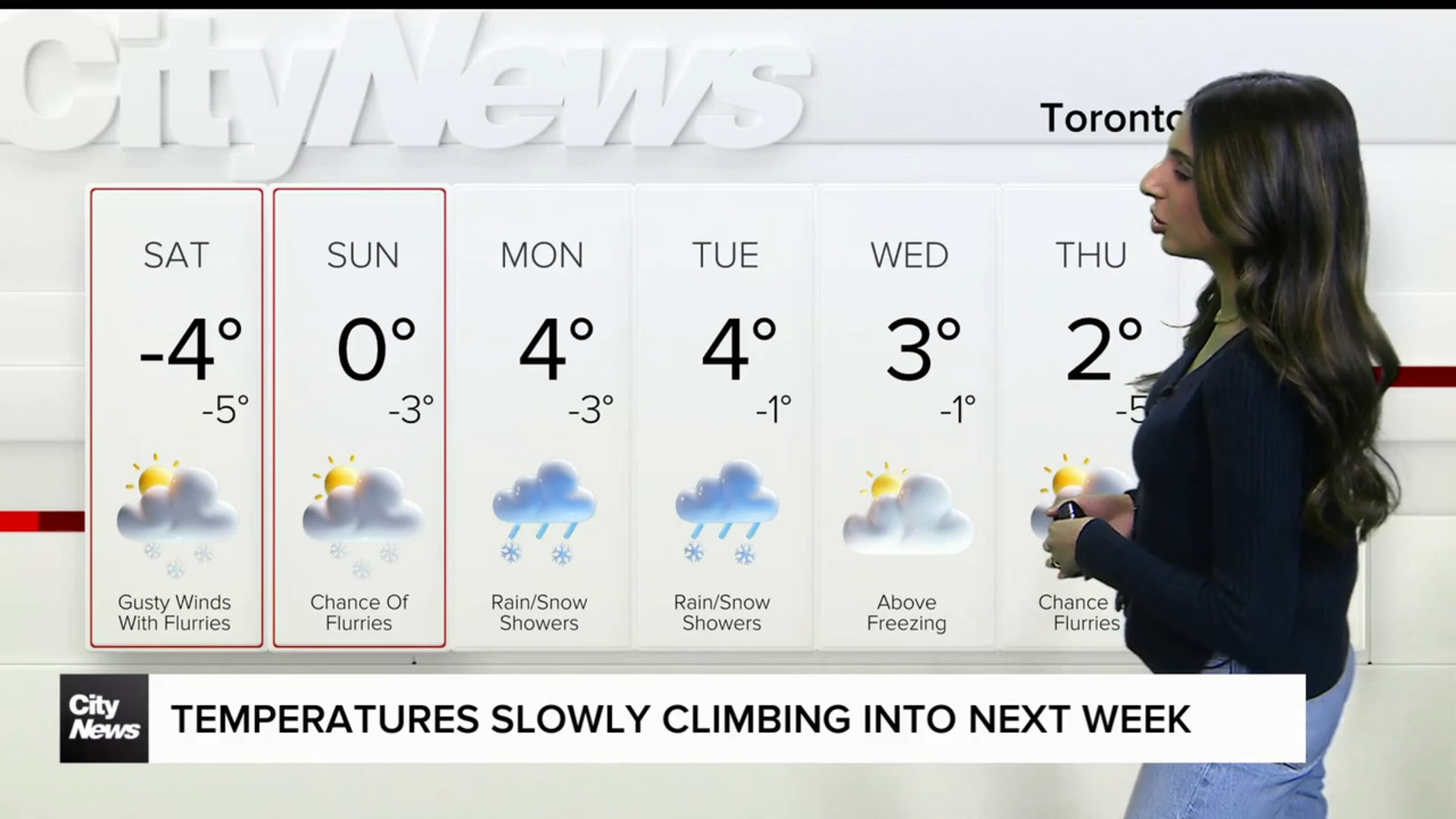
Schuster said cold conditions are expected to prevail across the board with daytime highs well below seasonal norms at between -5 and -10 degrees Celsius.
Schuster said the snow should taper off for all by Wednesday afternoon and temperatures should begin to rise by the end of the week.


