Another winter storm brewing in the GTA, to arrive Tuesday
Posted February 11, 2019 5:34 am.
Last Updated February 11, 2019 6:19 pm.
This article is more than 5 years old.
The GTA is bracing for another winter storm, with the potential for heavy snow and ice pellets accompanied by gusting winds.
Environment Canada has issued a winter storm warning for the region that includes Toronto.
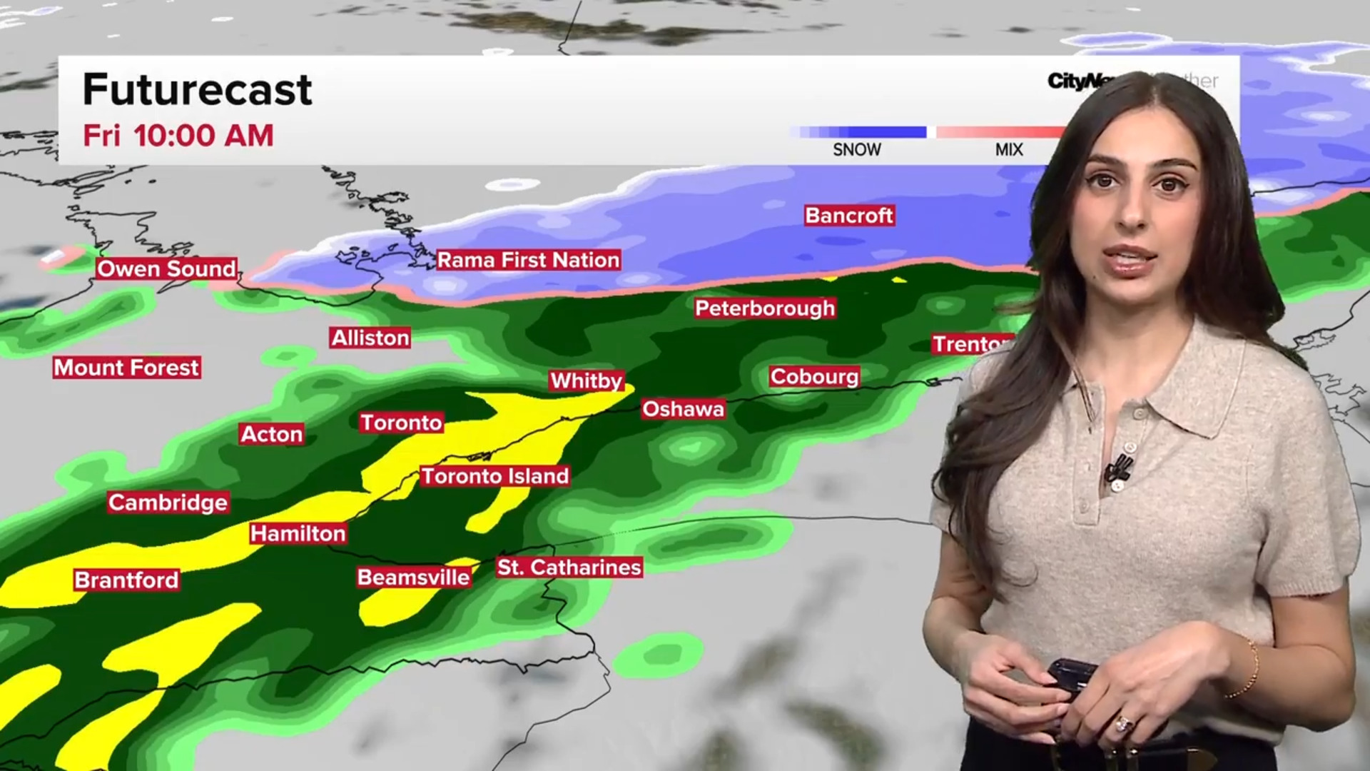
The precipitation will start between 5 a.m. and 6 a.m. on Tuesday. The heaviest precipitation will be in the late afternoon and evening, with 15-25 centimetres of snow and ice pellets accumulation, with less of it north of the city and the highest amounts over the city.
There will be a few isolated pockets of snow and ice pellet accumulation of up to 30 centimetres.
The snow will then mix with or change to ice pellets later in the day. There is also a slight risk of freezing rain. Overnight, there’s a risk of a rain/snow mix.
Since the high on Tuesday will be near 0 C, the type of precipitation will depend on the temperature.
With the wind gusting to 60-80 km/h, the blowing snow could result in reduced visibility on the roads. The gusts, especially near the lake, mean a risk of power outages.
As the storm system slowly exits on Wednesday, cold air on the backside could drive in an additional 2-5 cm of snow for Toronto.
Snow squalls are expected to return to the north and gusty winds means blowing snow will still be an issue until Wednesday night when the wind starts to ease.


