Widespread winter travel advisories in effect as first major snowfall hits Toronto, GTA
Posted November 27, 2021 11:51 am.
Last Updated November 28, 2021 3:12 pm.
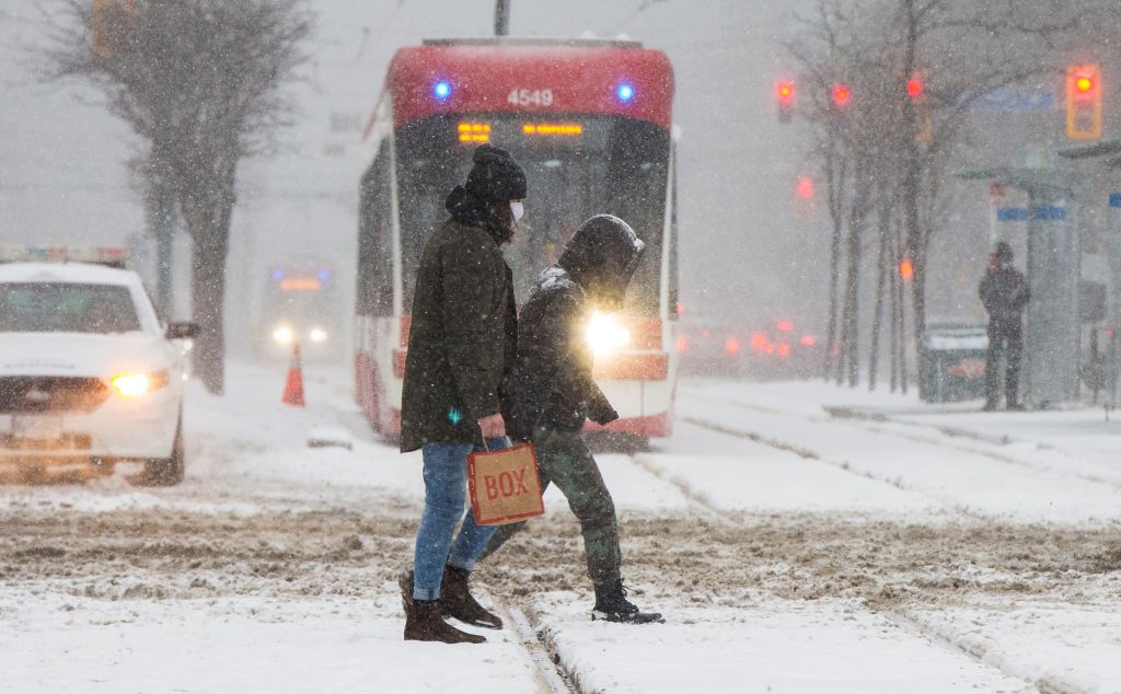
You’ll want to keep the shovel, snow brush and mittens handy on Sunday.
A widespread dose of snow has arrived across much of southern Ontario with winter travel advisories in effect for Toronto, Halton-Peel, and York-Durham.
Snowfall accumulations of 2 to 5 cm are expected in the GTA with an additional 3 to 5 cm possible by this evening. Some communities could see locally higher amounts due to easterly winds off Lake Ontario.
Environment Canada says many locales have received 5 to 8 cm of snow this morning. At least 10 cm is expected for areas like London and Chatham and along Lake Huron shores.
Significant Weather Outlook for Ontario valid for Sunday. #ONstorm pic.twitter.com/PnqYeP0MCj
— ECCC Weather Ontario (@ECCCWeatherON) November 27, 2021
The snow is due to an Alberta Clipper moving through the lower great lakes.
“The first snowfall of the season for many locales will continue today and likely impact road conditions. Motorists are advised to exercise caution as untreated roads may become icy and slippery,” said the national weather service.
“Be prepared to adjust your driving with changing road conditions. Take extra care when walking or driving in affected areas. Slow down driving in slippery conditions. Watch for taillights ahead and maintain a safe following distance.”
Temperatures will dip to -1 C with windchill making it feel more like -5.
Near or slightly below seasonal temperatures will continue through early and mid-next week, reaching as high as 9 C by Wednesday.
Stay tuned to CityNews 680 for updates on the short-term and long-term forecast every 10 minutes.