Severe thunderstorm watch ends for Toronto and GTA
Posted July 20, 2026 11:24 am.
Last Updated July 21, 2026 6:18 pm.
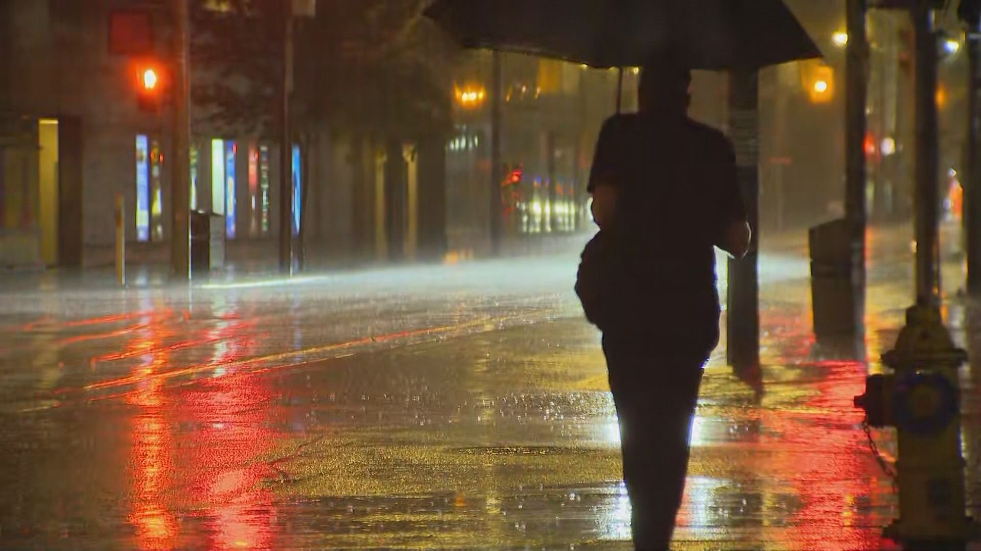
Toronto woke up to rumbles of thunder and patches of rain Tuesday, but the threat of severe thunderstorms has now ended.
Enviornment Canada has ended its yellow watch for severe thunderstorm for Toronto and most of the GTA.
The rough weather which started Tuesday morning is expected to last through the evening hours.
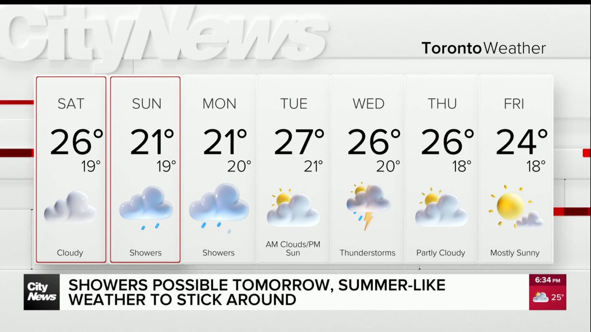
Temperatures will reach the mid‑20s on Tuesday, though humidity will make it feel warmer.
Wednesday brings a mix of clouds and scattered showers, especially early in the day.
A few rumbles of thunder can’t be ruled out, but the risk is lower than Tuesday. Skies should begin to brighten by afternoon with a high near the mid‑20s.
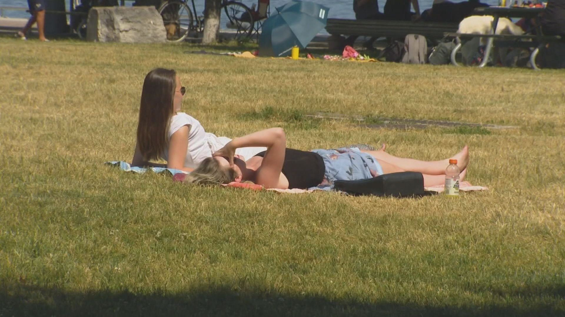
A more stable air mass settles in Thursday, delivering a warm, pleasant day with sunshine and a high in the mid‑20s. Humidity will be moderate, and winds light — a welcome break after two unsettled days.
Friday looks seasonable and calm in Toronto, with a mix of sun and cloud and temperatures hovering in the low‑ to mid‑20s. A stray shower is possible north of the city, but most areas should stay dry.