Toronto extends ‘major snow storm condition’ as extreme cold takes over
Posted January 21, 2022 6:26 am.
Last Updated January 21, 2022 4:20 pm.
Toronto is spending another morning in the deep freeze as the city continues to dig itself out from Monday’s historic blizzard.
The City has extended the ‘major snow storm condition,’ meaning parking in designated snow routes remains prohibited. It will remain in effect until all clearing and removal operations are completed.
Crews will place temporary signage around pending snow removal operations that prohibit parking on the road until snow removal has been completed and the signs are removed. The city will continue tagging and towing any illegally parked or abandoned vehicles that impede the work of snow plows or other clearing efforts.
Designated snow routes are all clearly signed — most are located in the downtown core and they include all streetcar routes. Parking on a designated snow route during a major snow event is subject to a fine of up to $200.
Snow removal efforts are ongoing, city crews worked last night to remove more snow from major transit routes like the Gardiner Expressway and Don Valley Parkway. Removal also began in selected areas of North York, St. Clair Avenue and Bloor Street overnight.
School safety zones and transit shelters have also been made priority areas.
The City’s snow removal plan involves front-end-loaders and dump trucks to collect the snow and move it to five snow storage sites.
Residents are now able to request snow clearing of streets, sidewalks or driveway that were missed by calling 311 or visiting Toronto.ca/311. Residents can see the plowing progress and check local streets at toronto.ca/plowto.
Monday’s storm dropped approximately 50 centimetres of snow on the city in 16 hours, causing major traffic disruptions and shutting down schools for two days.
Deep snow to deep freeze, extreme cold his Toronto
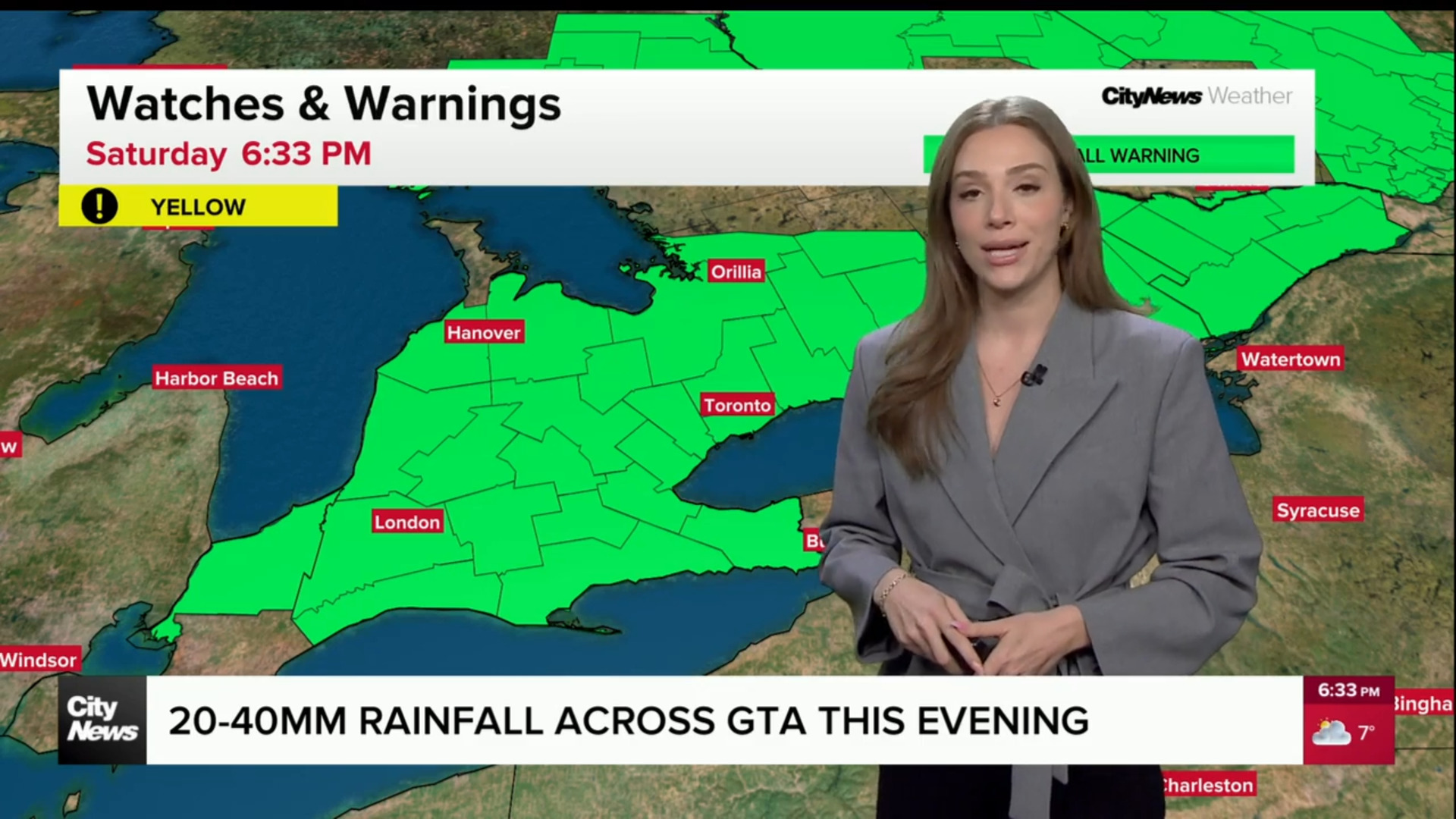
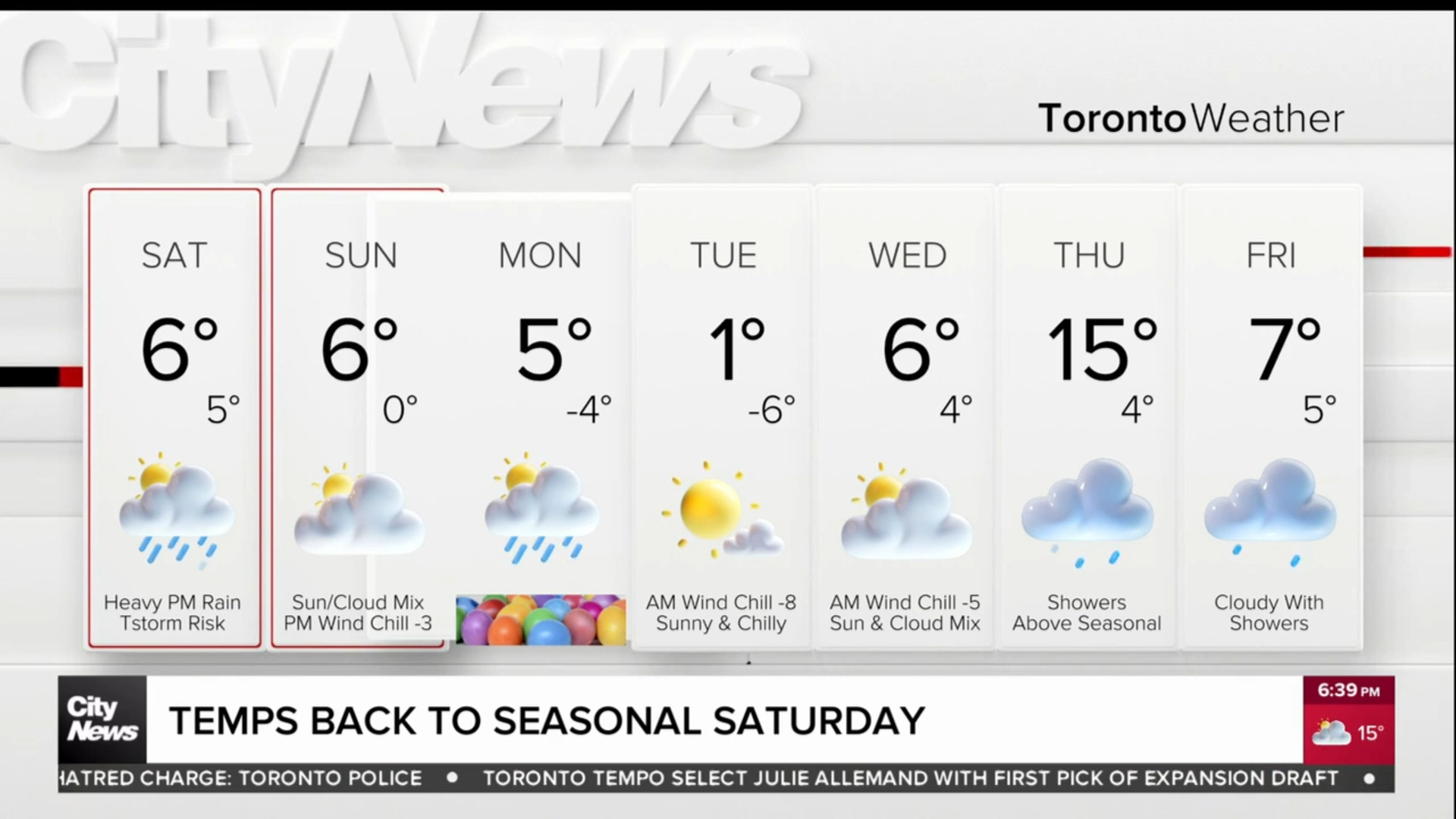
City crews will have to contend with freezing conditions again on Friday with extreme cold warnings in place for areas north and east of the city. It will feel in the -20s on Friday morning, with windchill temperatures in some parts of the city creeping into the -30s.
CityNews meteorologist Jill Taylor says some relief will come on the weekend despite temperatures remaining below seasonal.
Happy FRIDAY! It’s a cold one! #Toronto GTA. Wind chill near -30 in many areas this morning. Plenty of sunshine ☀️ ????today. The Guaranteed High is just -11°C. Wind chill values will ease though for afternoon/evening. Not as cold for weekend but still below the average High -2°C
— Jill Taylor (@JillTaylorCity) January 21, 2022
“The average highs are -2, we’ll still be below average with highs on the weekend of -4 and -5,” Taylor says. “But that windchill will ease and it won’t feel as cold as it does right now.”
There are no more big storms in the five-day forecast but Taylor says two to four centimetres are possible late Monday night into Tuesday morning.