Record-setting Ontario storm drops more than a metre of snow
Posted November 21, 2022 11:55 am.
Last Updated November 21, 2022 3:03 pm.
Climate change could intensify lake-effect storms like the one that dumped a record-setting amount of snow on some communities in southern Ontario this weekend, an Environment Canada meteorologist said Monday.
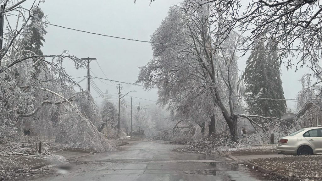
More than a metre of snow blanketed parts of the Bruce Peninsula as arctic air descended over the Great Lakes and picked up the warmth and moisture of the unfrozen waters in what’s called a lake-effect snow event.
A key marker of a storm’s intensity is the temperature difference between the lake and arctic air. If lakes stay warmer longer into the fall, the first big outbreak of arctic air could produce stronger snow squalls, said Geoff Coulson, a warning preparedness meteorologist with Environment Canada.
“That is certainly something that could be possible over the course of the coming decades with warmer summers and warmer falls, resulting in warmer lake temperatures,” he said in an interview Monday.
“Certainly, I think it’s these earlier season lake-effect events that could see some signature from climate change going forward.”
About 53 cm of snow fell in Wiarton on Sunday alone, breaking the area’s single-day snowfall record that has stood since 1982.
Environment Canada is warning that the areas around Niagara and Kingston could also see strong winds after enduring the weekend snowstorm.
“Southwesterly winds will strengthen early this afternoon with wind gusts up to 80 km/h possible, especially near Lake Ontario. Winds will begin to ease this evening,” Environment Canada noted.
Aside from the wind, the agency says the forecast looks relatively quiet over the next few days.
Historic snowstorm in Buffalo, Toronto evades it completely
Ian Boddy, mayor of the nearby city of Owen Sound, said the storm stood out as one of the “big whoppers” to hit the area in recent memory.
He expected most streets to be cleared by the end of the day as snowplows worked through emergency routes and major thoroughfares to secondary and back streets.
Boddy said by the time he finished shovelling his laneway Sunday, another three centimetres had fallen at the other end.
“It was really coming down,” he said.
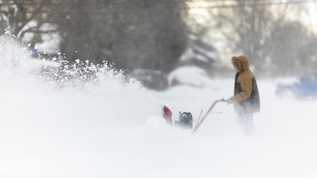
President Joe Biden is sending federal aid to western New York to help state and local authorities clean up from the massive storm that dumped as much as 6 feet (1.8 meters) of snow in western and northern New York, the White House announced Monday.
The National Weather Service recorded 196 cm by Saturday in Orchard Park, home to the NFL’s Buffalo Bills, and 183 cm in Natural Bridge, a hamlet near Watertown off the eastern end of Lake Ontario.
More snow fell overnight Sunday in some areas, but it stopped by daybreak Monday.
The snowstorm was at least the worst in New York state since November 2014, when some communities south of Buffalo were hit with seven feet (2.13 metres) of snow over the course of three days.
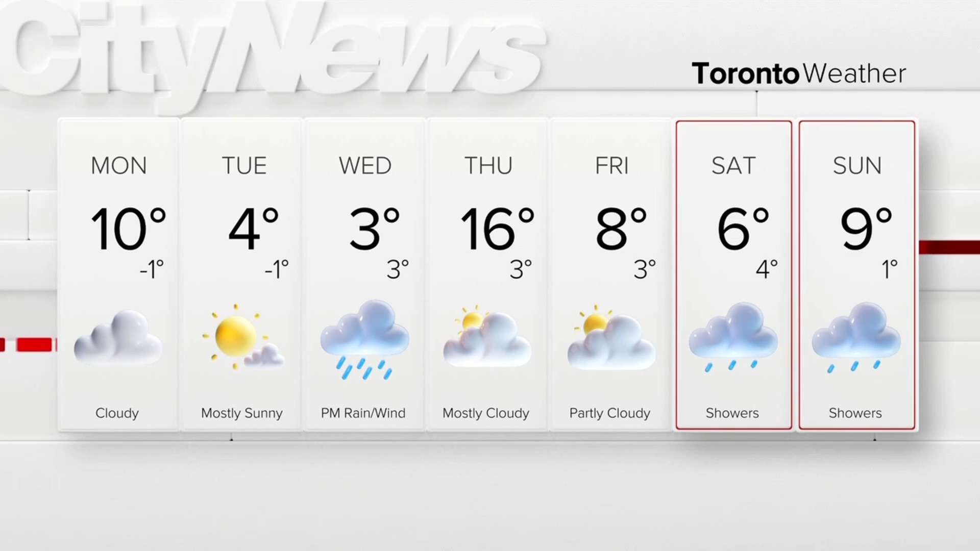
Meanwhile, Toronto completely dodged heavy snow accumulation over the weekend. In fact, the city is expected to see above-average temperatures this week, with added sunshine.
The warmup will begin on Tuesday with a projected high of 4 C. That will increase to an expected high of 6 C on Wednesday and as high as 7 C on Saturday.
With files from Lucas Casaletto of CityNews