Toronto braces for snowstorm late this week that could affect Christmas travel plans
Posted December 19, 2022 4:15 pm.
Last Updated December 20, 2022 9:08 pm.
Mother Nature is doing her part to ensure Toronto has a white Christmas this year as Environment Canada has issued a special weather statement for the GTA in advance of what it’s calling a significant winter storm.
The weather agency says that warmer temperatures could see rain or wet snow begin to fall late on Thursday before potentially transitioning to rain in Toronto early Friday.
That is when temperatures are expected to drop rather significantly, which Environment Canada says will be accompanied by strong to potentially damaging winds along with snow that may be heavy at times.
“Blizzard conditions are possible late Friday into the weekend for areas downwind of Lake Huron and Georgian Bay,” Environment Canada said as part of the special weather statement.
“A multi-day lake effect snow event is expected into the weekend in the wake of the system for locations east of the Great Lakes.”
Though forecasters believe there is a high chance that this system will result in a winter storm, Canada’s weather agency notes that the details concerning wind speeds, precipitation types and amounts are highly uncertain.
“Consider altering plans through the holiday weekend as travel conditions may become dangerous.”
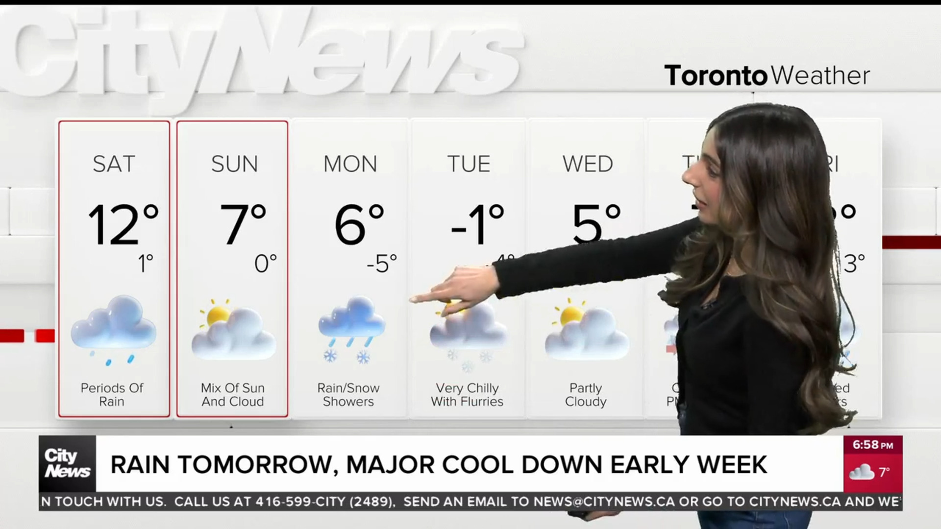
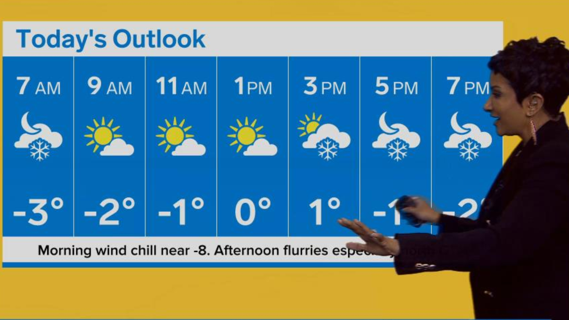
Though it’s early, the Christmas Eve forecast in Toronto will likely include cold temperatures of around -6 C with a wind chill making it feel more like -15 C. Scattered flurries is also possible during the day on Saturday.
A high of -5 C with a mix of sun and clouds is currently forecast for Christmas Day in Toronto.
Special weather statement spans GTA, much of southern Ontario
Environment Canada has issued a similar special weather statement for much of southern Ontario, including Hamilton, Windsor, Ottawa, Waterloo-Wellington and Dufferin-Innisfil.
Depending on the region, areas north of the city, such as Barrie and Parry Sound-Muskoka, could expect higher snowfall amounts.
In B.C., officials with the Ministry of Transportation said as much as 30 cm of snow had covered parts of southern Vancouver Island while Metro Vancouver coped with up to 25 cm.
Forecasters in the U.S. also warn of treacherous holiday travel and life-threatening cold for much of the nation as an arctic air mass blows into the already-frigid southern part of the country.
The incoming arctic front brings “extreme and prolonged freezing conditions for southern Mississippi and southeast Louisiana,” the National Weather Service said in a special weather statement Sunday.
For much of the U.S., the winter weather will get worse before it gets better.
The coming week has the potential for “the coldest air of the season” as the strong arctic front marches across the eastern two-thirds of the country in the days before Christmas, according to the latest forecasts from the federal Weather Prediction Center in College Park, Maryland.
With files from The Associated Press