Extreme cold warning lifted in Toronto after frigid stretch
Posted January 22, 2025 6:33 am.
Last Updated January 22, 2025 12:25 pm.
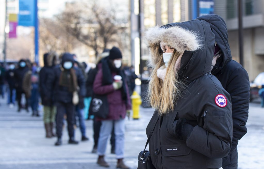
Environment Canada lifted an extreme cold warning for Toronto and parts of the GTA on Wednesday despite freezing temperatures and a wind chill that will make it feel like -20 for much of the day.
Environment Canada first issued the weather alert for Toronto on Tuesday, with wind chill values ranging from -30 to -35. The warning cited an Arctic airmass bringing bitterly cold winds to the area.
“Extreme cold coming to an end later [Wednesday] morning,” Canada’s weather agency later stated.
That airmass has gripped much of the province in a deep freeze, intensifying powerful lake-effect snow squalls, prompting other extreme cold warnings for much of southern Ontario. While some of those alerts have lifted, extreme cold warnings remain in place for Kitchener, Orangeville, Guelph, Windsor and Barrie, among other regions.
Tuesday’s daytime high of -12 C was the coldest day in Toronto on record since January 2019.
Toronto and GTA residents still woke up to frigid temperatures on Wednesday, with a forecasted daytime high of -11 and the wind chill making it feel more like -20. There is the chance for scattered flurries and some snow accumulation in parts.
The bitter frostiness will ease to cap off the week, as Thursday and Friday’s daytime highs will be around -5 C and -6 C. Toronto’s weekend forecast is also promising, with a mix of sun and clouds and daytime temperatures hovering around -3 C and -2 C.
Colder-than-average temperatures are forecast to persist into late January. As February begins, milder air is expected to push north of the border.
Click here to sign up for the CityNews Weather Guarantee and to look at the extended forecast.