Warm weather will not last, back to seasonal temperatures this weekend
Posted April 9, 2026 11:29 am.
Last Updated April 9, 2026 12:06 pm.
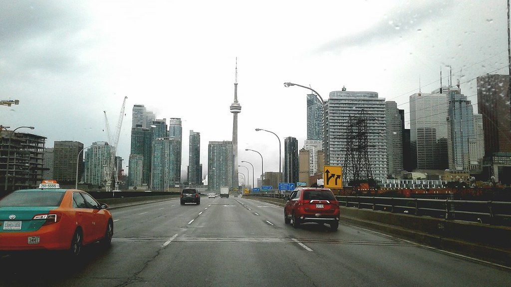
Enjoy it while you can – while Toronto is getting a taste of warmer spring weather on Thursday; Friday and the weekend will not be as pleasant.
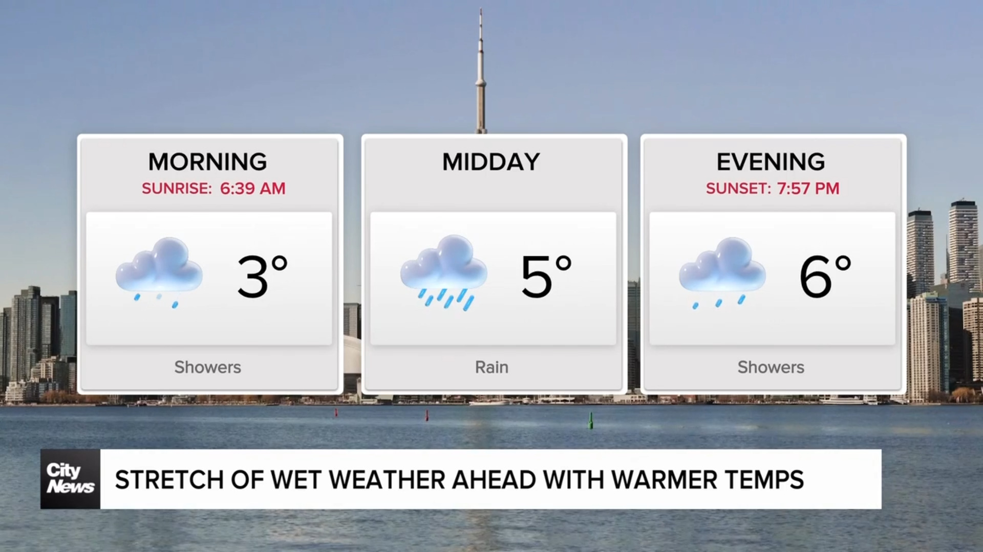
Thursday’s daytime high is expected to reach 18 C with some very light rain of less than one millimetre expected near the lunch hour. It will clear out by 3 p.m., so the drive home will be dry and sunny.
Thursday evening remains mild at around 11 C, but overnight temperatures dip down to 5 C with the windchill making it feel like -1.
Friday begins with a tricky commute across the north GTA and into cottage country with precipitation beginning as snow and then turning into rain.
Areas like Barrie, Midland and Orillia may see some wet snow accumulation between two to five centimetres. Northern York region could see a short period of rain/snow mix or freezing rain, but with little to no accumulation. It will be dryer towards the evening with cloud cover rolling in.
The daytime high for Friday is expected to be around 7 C with a low near 0 C.
Wintery weather is on its way out
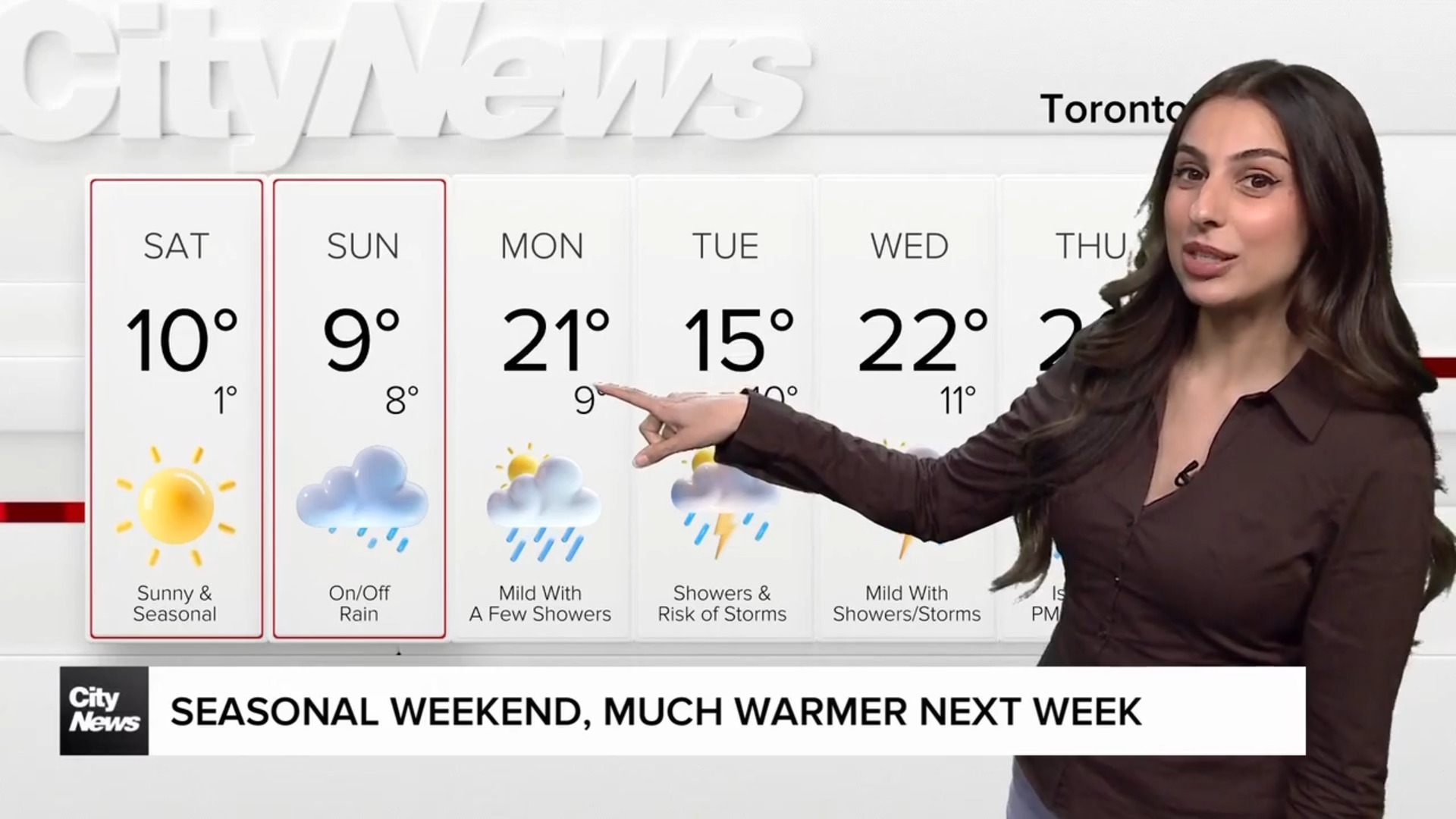
The weekend is looking seasonal – Saturday will see a high of 10 C and Sunday will climb a little further to 12 C.
Sunshine dominates for Saturday but scattered showers are expected on Sunday.
Next week starts off much more spring-like with a high of 18 C for Monday and 15 C for Tuesday, but rainy conditions are expected until at least mid-week.
For the rest of the week, temperatures remain in the double digits, giving a more consistent spring feel, and that trend is expected to continue over the next several weeks.
But the good news is while there will be temperature fluctuations over the next few weeks, wintery conditions are definitely on their way out as more spring-like weather patterns are expected to hold, as opposed to the major swings seen in the last few weeks.