Long Weekend A Weather Wash Out
Posted September 1, 2006 12:00 pm.
This article is more than 5 years old.
Labour Day is traditionally seen as the end of summer, although the season still continues for almost a month after we all head back to work or school.
There’s something special about the three-day stretch, which isn’t supposed to include non-stop heavy rain.
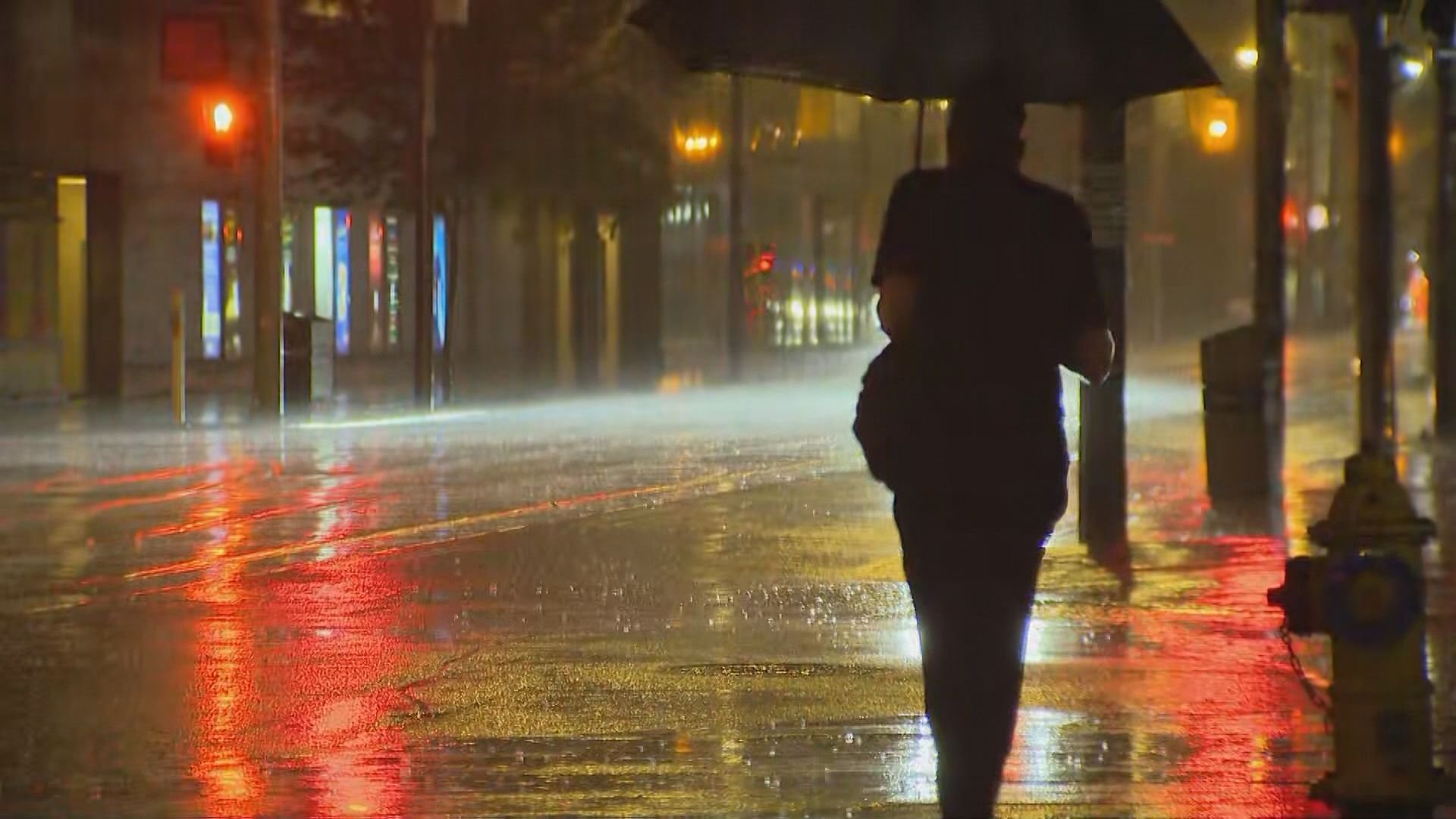
But that’s what residents spending it in Southern Ontario can expect, as the remnants of former hurricane Ernesto head straight for us.
Forecasters are predicting light precipitation beginning on Saturday morning, turning heavier by the afternoon and staying that way right through early Monday.
As much as 30-60 millimetres of rain could fall before it all ends – that’s between 2-3 inches.
Gusts from the weakened storm could reach 50-60 kilometres an hour.
It may finally clear out a bit by the time we get to the last day of the holiday, but don’t expect to see much sunshine on any of the three days. (To check the full forecast, click here.)
To some, it seems like Mother Nature saves her worst just for Labour Day, but it’s not quite true.
Environment Canada climatologist Dave Phillips crunched the numbers for CityNews.ca for the past 20 years worth of September long weekends and found that most of the time, we come out on the sunny side of the street.
“The last four … were totally dry,” he points out. “Of the 20 years, nine had no rain on any of those days. Only two had rain on every one of those days. And of the 60 days – three days times 20 years – 17 of them had rain. So I think anybody who thinks it’s always a damper is wrong.
“Nature’s worked hard to make it the best of the weekends.”
Phillips notes that while August may have seemed colder than normal, it was actually average – and August 1st was the warmest day of the summer, reaching 36.6C.
“The temperature for the whole month actually turned out to be 1.2 degrees warmer than normal.”
The weather wizard calls the summer now quickly passing the most perfect season in a long time.
“This was the summer of summers, from every side, from temperature-wise, from air quality, from comfort, from energy saving. It was a near perfect 10.”
And as for fall and winter? Phillips admits it’s too soon to tell but early indications are both could be warmer than normal.
But he reminds it’s only September and that could change.
Bad as things may be here, they were far more serious down south, where Ernesto packed a bigger punch.
The storm hit North Carolina with heavy rain and strong winds, leading to some major damage. Gusts measuring up to 112 kilometres an hour tossed a sailboat from its moorings, but in the end officials know they escaped something worse.
But it was the water more than the wind that caused the true havoc. Flooding was everywhere and officials were forced to go door-to-door trying to move families and their pets to higher ground.
While the storm has since moved on in its journey towards the G.T.A., officials down south warn the worst is far from over.
“I remind people again most of the fatalities and injuries occur after the storm in automobiles on flooded roads,” advises North Carolina Governor Mike Easely.
A weakened Ernesto still had enough strength to dump heavy rain in Virginia, leaving roads overflowing, stranding drivers foolish enough to venture out in the mire and opening up sinkholes in many areas.
Toronto’s brush with the big blowhard won’t be quite so bad, but it could leave the city a soggy, dripping mess, with city workers preparing for the worst by sweeping out catch basins and hoping the drains can handle the expected deluge.
Long Weekend Driving Blitz Underway In Earnest
Driver Learns Long Weekend Lesson The Hard Way
What’s Open & Closed This Long Weekend?
How Labour Day Originated In Toronto