Spring starts with fog, smog & record-breaking temps
Posted March 20, 2012 6:14 am.
This article is more than 5 years old.
The first day of spring in and around the GTA was an eventful one weather-wise, starting off with a thick fog, burnt off by a warm sun and record warmth, followed by bad air.
As Toronto broke yet another warm weather record Tuesday, a smog advisory was issued in Hamilton.
The forecast high for Toronto was 23 C. The city reached 21.9 C at Pearson International Airport, breaking the record of 18.3 C set in 1976.
Check the latest forecast here.
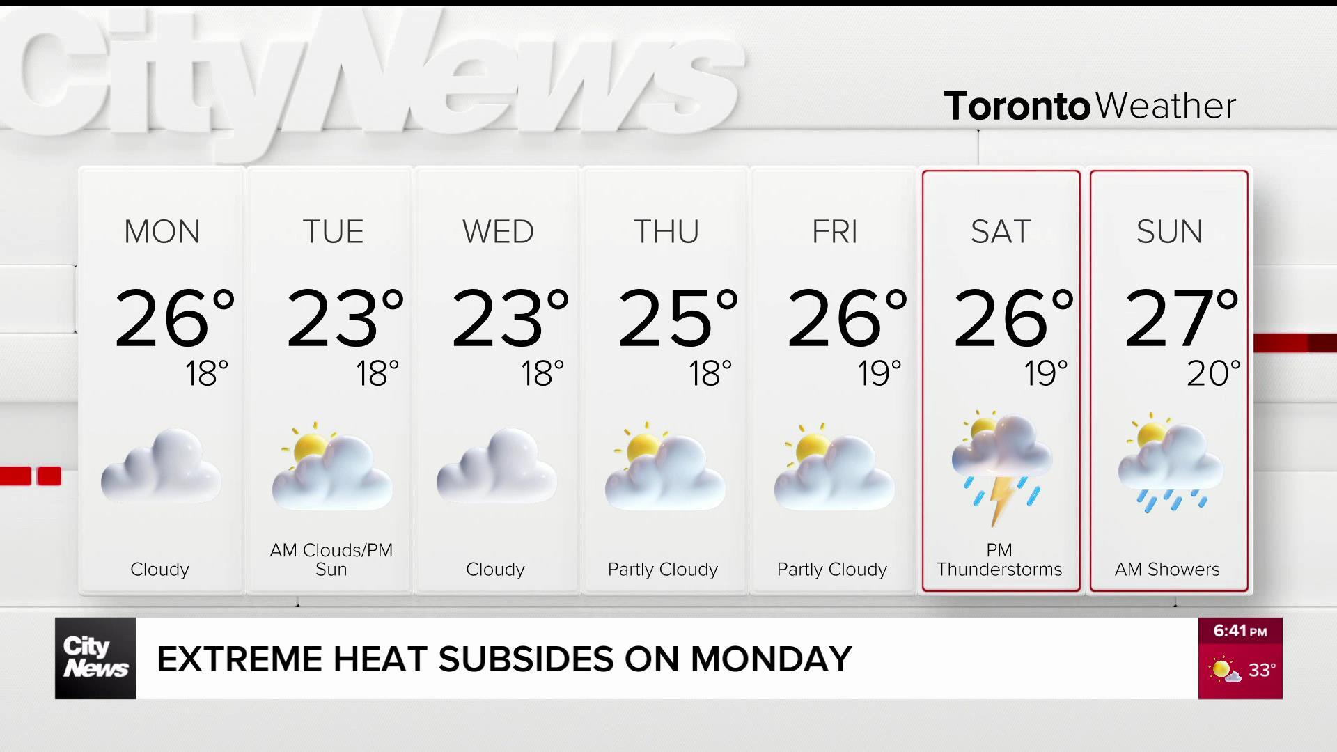
That hot streak could continue throughout the week: if Toronto hits the forecast high of 25 C on Wednesday, which will feel like 29 C with the humidity, it would break the record of 17.8 C set in 1948.
And on Thursday, if Toronto hits the forecast high of 26 C, it would break the record of 14.4 C set in 1938. It would also shatter the all-time high for the month of March, which is 25.6 C, set in both 1945 and 1946.
The new season was greeted by a dense fog that hung over parts of the GTA for several hours Tuesday morning. The unusually warm weather paired with cool lake temperatures created the soupy conditions that prompted Environment Canada to issue a special weather statement warning of poor visibility.
“At nighttime especially, we’re getting the cooler air at the bottom and a layer of warm air sitting on top. And the atmosphere when that happens, becomes very stable and things don’t move,” said CityNews meteorologist Natasha Ramsahai.
Both Air Canada and Porter Airlines warned of possible delays and cancellations, and drivers were urged to use extra caution on the roads due to heavy fog.
The federal weather agency issued the special weather statement for Toronto, Hamilton, Burlington, Oakville, Mississauga, Brampton, Pickering, Oshawa and southern Durham Region warning of patchy dense fog.
The fog dissipated later Tuesday morning.


