Rain to bring cooler temps to the GTA
Posted March 11, 2013 5:24 am.
This article is more than 5 years old.
CityNews’ weather team is forecasting cooler weather for the GTA this week and possibly snow, a departure from the balmy temperatures of the past three days.
“We’re in a transition season – that’s what heading into spring is all about. Get used to the ups and downs for the next couple of months before it’s all ups after that,” meteorologist Adam Stiles said.
The mercury reached double-digits over the weekend before rain and gusty winds hit the GTA. Although the wet weather is expected to stick around until Monday evening, Stiles says it won’t amount to much.
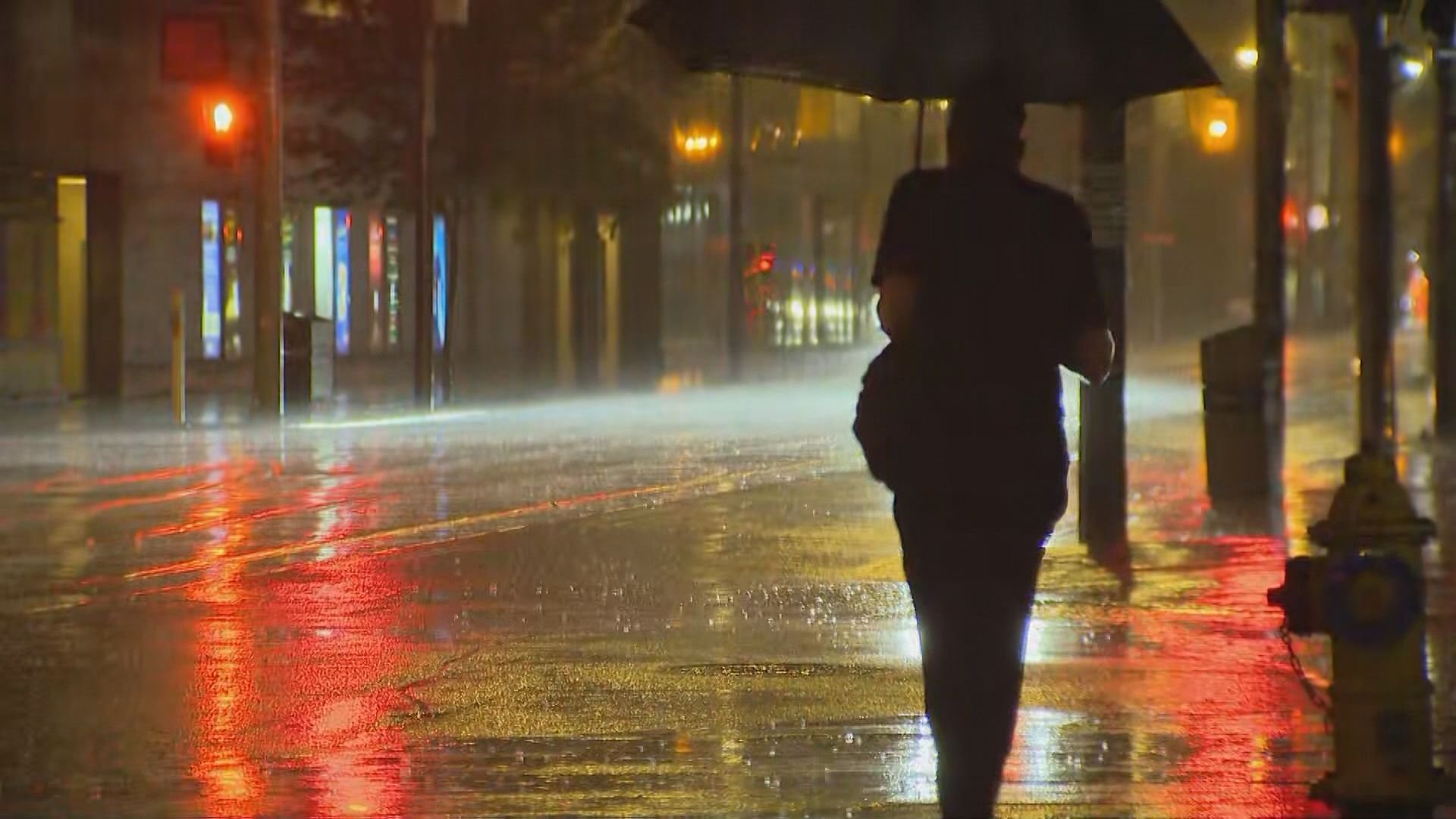
“We’re likely going to see 10 to 15, maybe 20 millimeters of rain in pockets across the GTA,” he said. “It’s not going to be a major event for the GTA. It’s more going to be a nuisance so keep your umbrella handy.”
Environment Canada issued a special weather statement early Monday for significant rainfall expected over southwestern Ontario, including Toronto and the GTA. Areas near Lake Huron and Georgian Bay were expected to get as much 25 millimetres of rain by Thursday afternoon or early in the evening.
Weather specialist Stella Acquisto says the rain is causing a cool down for the rest of the week, which could bring snow.
“We do see a bit of rain throughout the overnight period, Tuesday into Wednesday. We could also see it changing over into flurries as temperatures dip,” she explained.
Overnight temperatures for Tuesday and Wednesday are expected to hover around the freezing mark.
Stiles also isn’t ruling it out another major snowstorm for the GTA.
“There’s going to be a couple of near misses, so it could go either way but I wouldn’t put away the snow gear just yet.”
For complete weather coverage go to citynews.ca/weather.