Thunderstorms move through Toronto and GTA, humidity to break this weekend
Posted June 2, 2023 7:48 pm.
Last Updated June 2, 2023 10:59 pm.
Thunderstorms quickly moved through the Greater Toronto Area (GTA) that were accompanied by large hail, leading to a much-needed cool down in time for the weekend.
Environment Canada issued a severe thunderstorm warning for Halton-Peel on Friday evening, which covered Burlington and Oakville. Canada’s weather agency cautioned for large hail and heavy rain.
Those warnings have been lifted.
This is absolutely nuts! Rain and hail with wind so strong it's making the hail basically float in the air! #onstorm@CityNewsTO @citynews680 pic.twitter.com/j8gSjED5lh
— Andrew Osmond (@AndyOzzy) June 2, 2023
#onstorm @markrobinsonNC a hail system is hitting Toronto in 20 min (the footage is from Scarborough pic.twitter.com/kFHDEPEK51
— Mariana Hernandez (@Mariana_ArtsTO) June 2, 2023
It poured rain here in Mississauga for about 5-10 minutes. Now the sun is coming back out. The humidity is already starting to break, too. #onstorm pic.twitter.com/twzerI0PM3
— LC (@LucasCasaletto) June 2, 2023
“Severe thunderstorm warnings are issued when imminent or occurring thunderstorms are likely to produce or are producing one or more of the following: large hail, damaging winds, torrential rainfall,” Environment Canada said at the time of the weather alert.
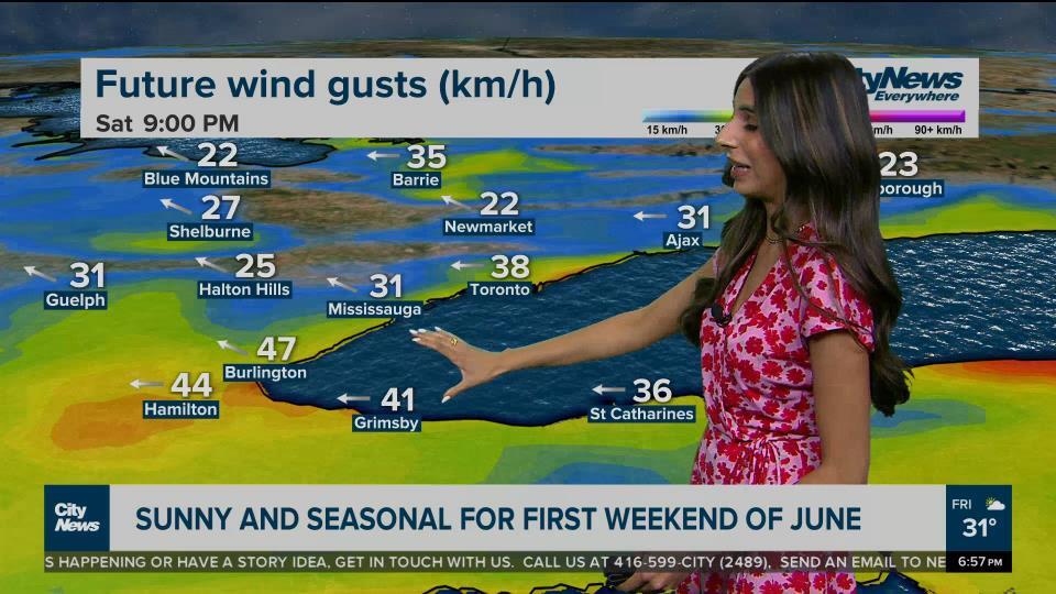
The heat warnings for Toronto and much of southern Ontario were lifted by late Friday night as cooler air arrives this weekend.
There will be ample sunshine in the city on Saturday and a high of 22 C, with similar but slightly cooler temperatures on Sunday, with a forecasted high of 21 C.
On Thursday, Toronto broke a temperature record that stood for 75 years.
The previous record for June 1 was 28.3 C, set in 1948. CityNews chief meteorologist Natasha Ramsahai confirmed that Toronto surpassed that when temperatures reached 30.8 C at the day’s peak.