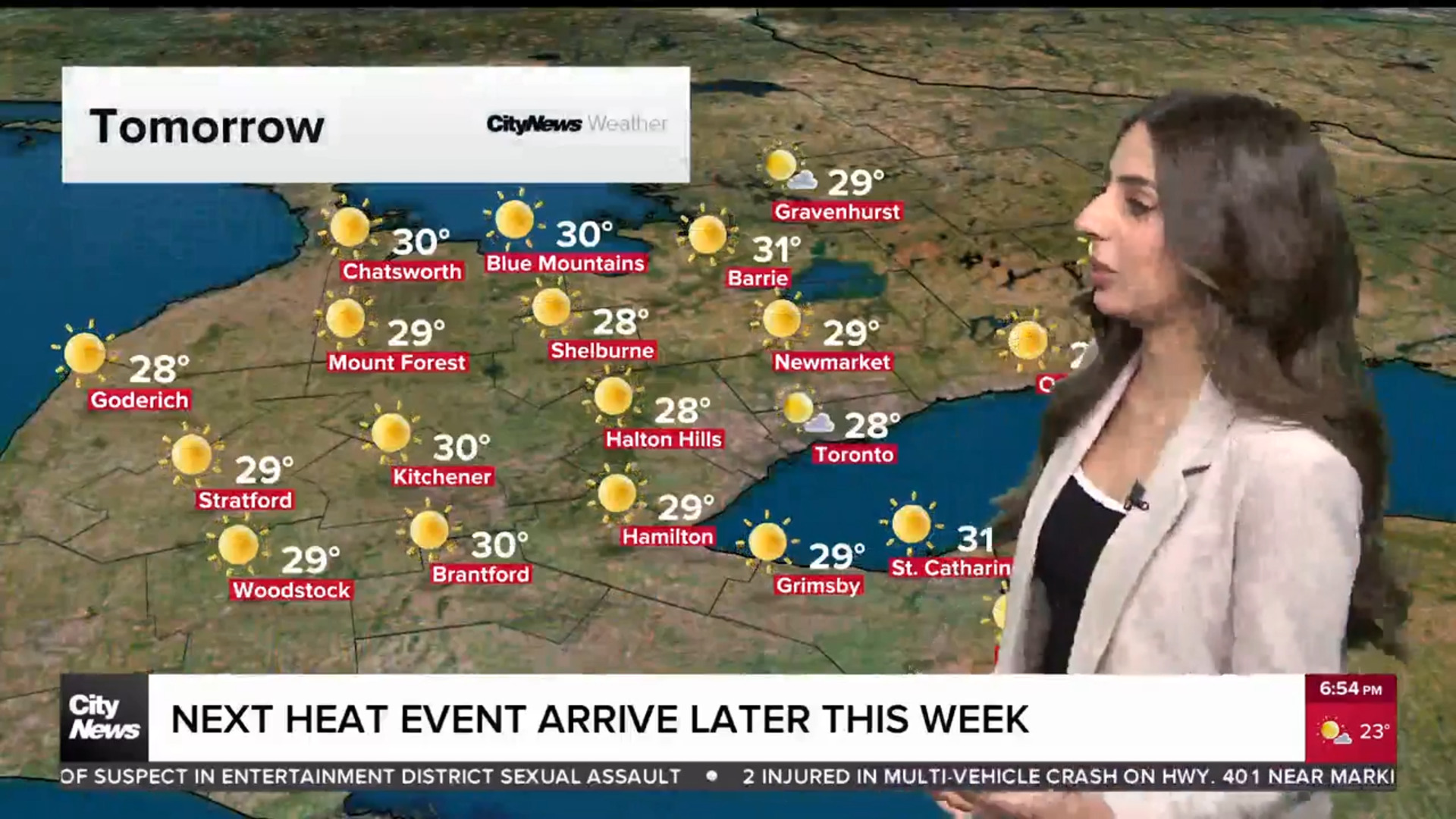
Summer-like weather to usher in October; potentially record-setting warmth on the way

Posted September 29, 2023 7:13 am.
Last Updated September 29, 2023 7:23 am.
We’re already a full week into fall but it’s going to feel much more like summer in Toronto as October arrives.
It was a warmer-than-usual September and it’s expected to heat up even more heading into this weekend, with some potentially record-breaking warmth to follow early next week.
It will be mainly sunny with a guaranteed high of 21 C on Friday, and then sunny and a high near 23 C for Saturday. And then it will only get warmer for Oct. 1 with a high near 26 C expected on Sunday with a humidex value closer to 30.
“Saturday still very comfortable, but Sunday through Wednesday we are starting to warm up,” says CityNews 680 meteorologist Jill Taylor. “Monday through to Wednesday there is the potential for some record-warm highs.”
We had some early morning showers for areas near Lake On this morning. Very isolated. We will clear out. Plenty of sunshine and warming up for the start of October on Sunday. There is the potential for record warm highs next week before colder air settles in for Thanksgiving!
— Jill Taylor (@JillTaylorCity) September 29, 2023
Monday (Oct. 2) and Tuesday (Oct. 3) could see highs near 28 C with the humidex in the low 30s. The record high for Oct. 2 in Toronto was 28.3 C, set in 1971 — and the record for Oct. 3 was 27.1 C, set in 2001.
The summer vibes won’t last though, colder air returns to the GTA later next week, bringing more seasonal autumn temperatures.
“By Thursday a cold front moves through, and it really starts to cool us down in time for the Thanksgiving long weekend,” says Taylor, adding we can expect a high near 15 C by Thanksgiving Monday.
The Weather Network’s fall forecast predicted a “fickle fall” this year as the season is forecast to be chilly early on for most of Canada before above normal temperatures lead the country into winter
Ontario is expected to see a nasty push of cold air in October but winter is forecast to begin on a mild note. The forecast suggests the province will see less precipitation than normal, but there may be some wind storms during the fall that cause power outages.


