Snow squall warning lifted in Ontario ahead of Friday warmup
Posted December 13, 2023 11:29 am.
Last Updated December 13, 2023 11:12 pm.
The official start of the season is still more than a week away but parts of the GTA were hit with a burst of winter weather on Wednesday.
Snow squall warnings and travel advisories were in place for parts of the region ahead of isolated winter activity.
The snow squall warnings were issued for areas in northern York and Durham regions including Newmarket, Barrie, Georgina and Uxbridge, where Environment Canada called for up to 15 cm of snow.
CityNews 680 meteorologist Jill Taylor said the squalls tested the winter driving skills of motorists north of Toronto.
“It’s beautiful and sunny one minute, and then the next your driving in whiteout conditions,” she said. “Possibly as much as 15 cm, depending on where these squalls are set up.”
A Winter Weather Travel Advisory had been in effect for southern Durham region, from Pickering through to Oshawa.
“Travel may be hazardous due to sudden changes in the weather,” the weather agency said at the time of the alert. “Surfaces such as highways, roads, walkways and parking lots may become icy and slippery.”
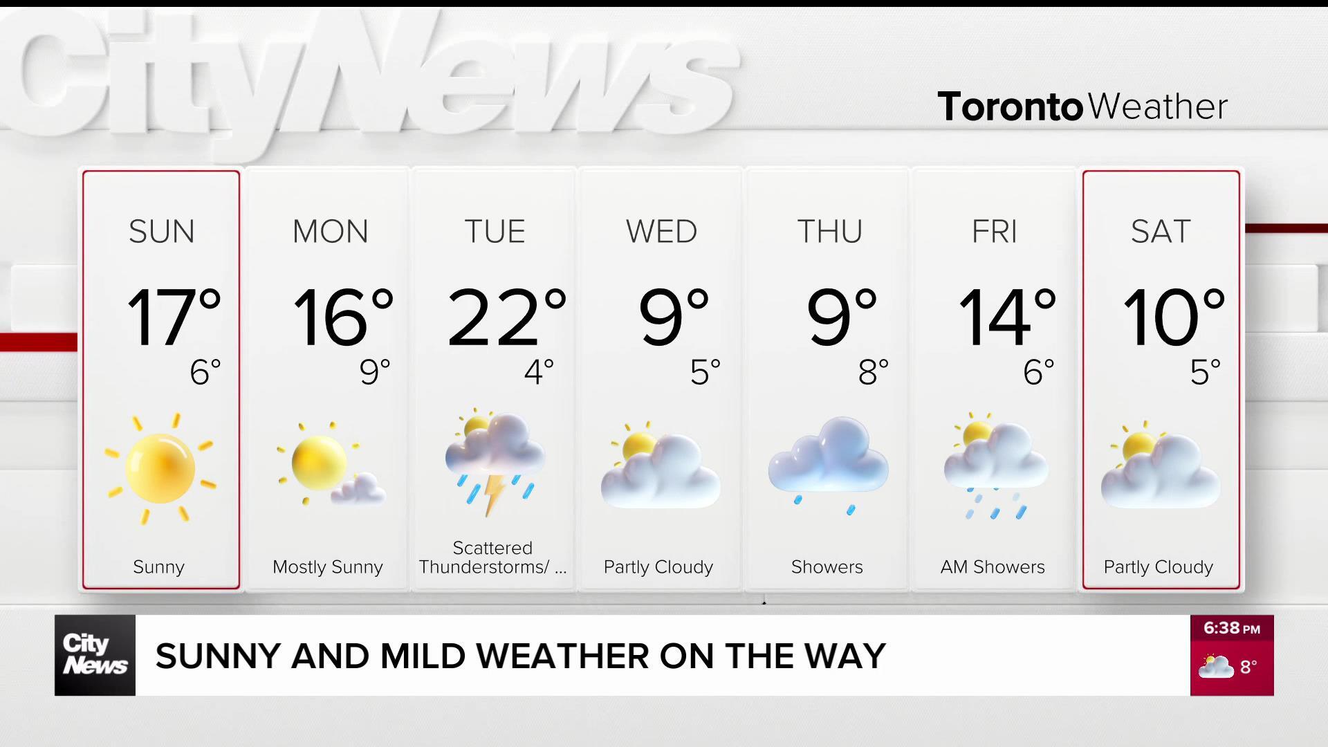
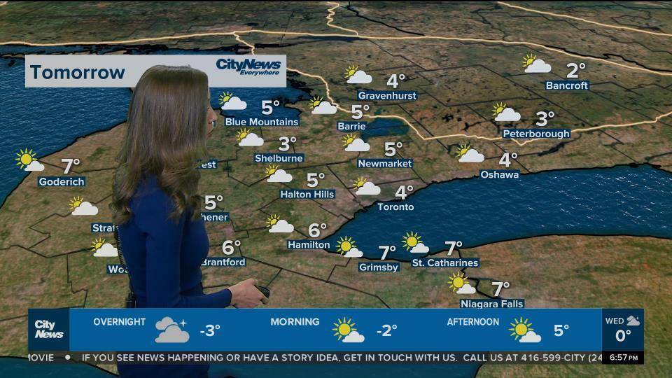
The brief winter wallop won’t stick around with sun and cloud expected Thursday and a high of 6 C before it gets even warmer on Friday with a high near 10 C expected.
Daytime highs will hover around 5 C on the weekend with some possible showers on Saturday morning. More information on the extended forecast can be found here.