Spring-like warmup on the way for Toronto, GTA by Friday
Posted February 6, 2024 5:08 pm.
Last Updated February 6, 2024 7:35 pm.
An unusual and unseasonal warmup is on the way for southern Ontario, with double-digit temperatures expected by Friday.
Toronto and the GTA are forecasted to reach a daytime high of 10 C at the end of the week. A gradual warmup will see temperatures go from a high of 3 C on Wednesday to 5 C on Thursday in the city.
The average daytime high in February is around the freezing mark at 0 C, with an average low of -7 C.
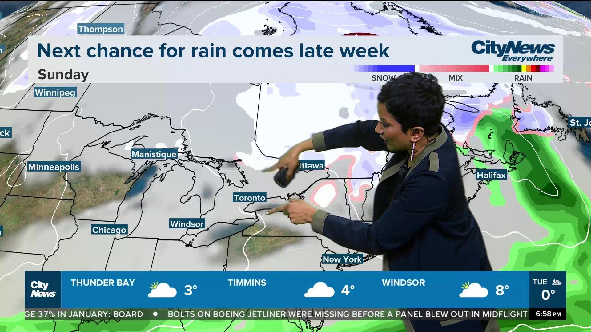
CityNews meteorologist Natasha Ramsahai says temperature records could be set on Friday as most regions will hit the double-digit mark. Rain is expected, however, with limited sunshine throughout the day.
“You may need an extra five or 10 minutes on Friday for these on-and-off showers,” Ramsahai said. “Current snow depth is lacking. Those ski hills are struggling to get the snow and keep the snow.”
Regarding unseasonal warmth, Saturday looks good, too, as conditions are forecasted to be partly sunny, with temperatures near the record high as many places reach similar double digits.
“Saturday late day comes the cold front, so say goodbye to the double digits,” Ramsahai said. “But here’s the thing, we’re only dropping to 4 C on Sunday, which is still above seasonal.”
Elsewhere in the province, temperatures across northern Ontario will average more than 15 C above seasonal throughout the week.
The lack of snowfall has been noticeable in Toronto so far this winter. Last year, 123 cm of snow fell throughout January, while only 27 cm accumulated this year. In 2022, over 150 cm of snow fell in Toronto that same month.
For all your local weather and details on the extended forecasts, visit here.