Potentially record-breaking warmup on the way as fog advisory lifts in the GTA
Posted February 8, 2024 6:37 am.
Last Updated February 8, 2024 12:59 pm.
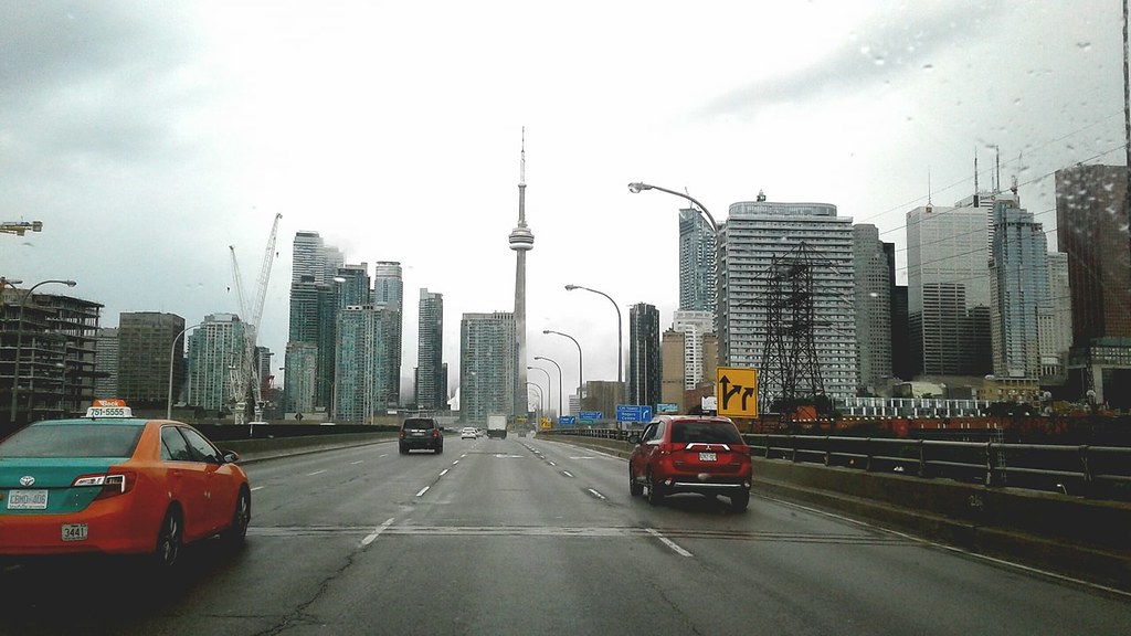
A fog advisory that blanketed Toronto and the GTA on Thursday morning has been lifted for most areas and a potentially record-breaking warmup is on the way ahead of the weekend.
Visibility was reduced to zero in some spots and Environment Canada warned of freezing fog and slippery streets through the morning hours. The advisory for Toronto and most of the GTA was lifted just after 10 a.m. but remained in effect for Halton – Peel.
Foggy conditions stretched as far north as Barrie and Orillia, though advisories in those areas ended around 7:30 a.m.
Toronto Pearson warned that some flights arriving at the airport could be delayed as crews manage the flow of aircraft due to the reduced visibility.
CityNews 680 meteorologist said the fog won’t stick around as Toronto reaches a guaranteed high of 4 C on Thursday.
“The fog will dissipate this morning but it will stay rather cloudy throughout the day,” Taylor said, adding some light rain is expected to move in overnight but it should wrap up around 6 a.m. Friday.
Friday will see potentially record-setting warmth as things turn mild with a high near 12 C. The Toronto record for a Feb. 9 is 10.6 C set in 1938.
Things will cool down on Sunday but temperatures will still remain well-above seasonal with a high near 4 C. The average daytime high in February is around the freezing mark at 0 C, with an average low of -7 C.
Taylor said the city could get hit with some snow to start next week.
“We’ll watch Monday night into Tuesday for some accumulating snow,” she said.
The lack of snowfall has been noticeable in Toronto so far this winter. Last year, 123 cm of snow fell throughout January, while only 27 cm accumulated this year. In 2022, over 150 cm of snow fell in Toronto that same month.
For all your local weather and details on the extended forecasts, visit here.