Toronto gets more than a month’s worth of rain in a few hours amid rainfall warning
Posted July 16, 2024 8:34 am.
Last Updated July 16, 2024 5:05 pm.
Toronto received more than a month’s worth of rain over the span of a few hours amid a rainfall warning from Environment Canada that called for “extremely heavy rain” with the potential for 125 millimetres in some areas on Tuesday.
CityNews chief meteorologist Natasha Ramsahai said as of noon, 75.8 millimetres of rain fell in the city.
Pearson International Airport received around 96 millimetres of rain, while Billy Bishop Airport reported 82.2 millimetres of rain.
“[The] biggest one-day rainfall on record at Pearson still stands at 126 mm back on July 8, 2013, and that surpassed the previous one-day rainfall record from Hurricane Hazel which was 121.4 mm back on Oct. 15, 1954,” Ramsahai noted.
She also said Tuesday’s rain broke the daily rainfall record for July 16, which was 25.9 millimetres on this date back in 1941.
The rainfall warning was in effect for Toronto and several GTA areas for much of the morning and early afternoon. It has since been lifted, however some rain is still expected between 6 p.m. and midnight.
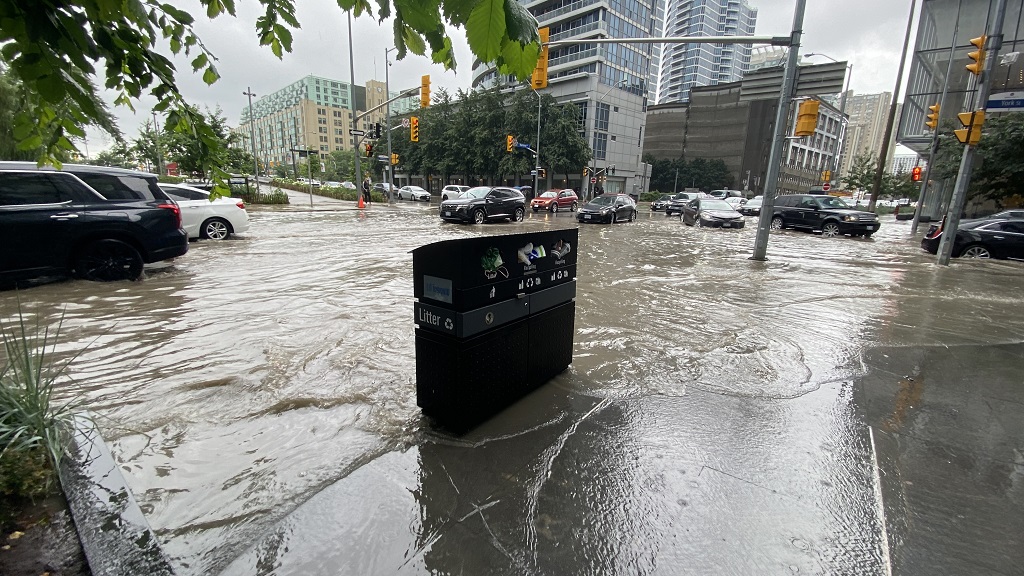
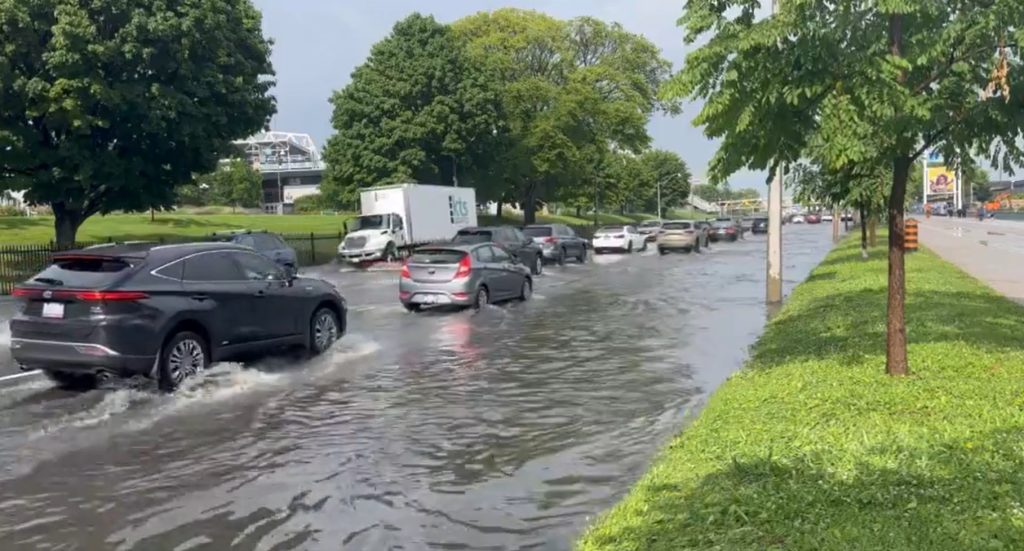
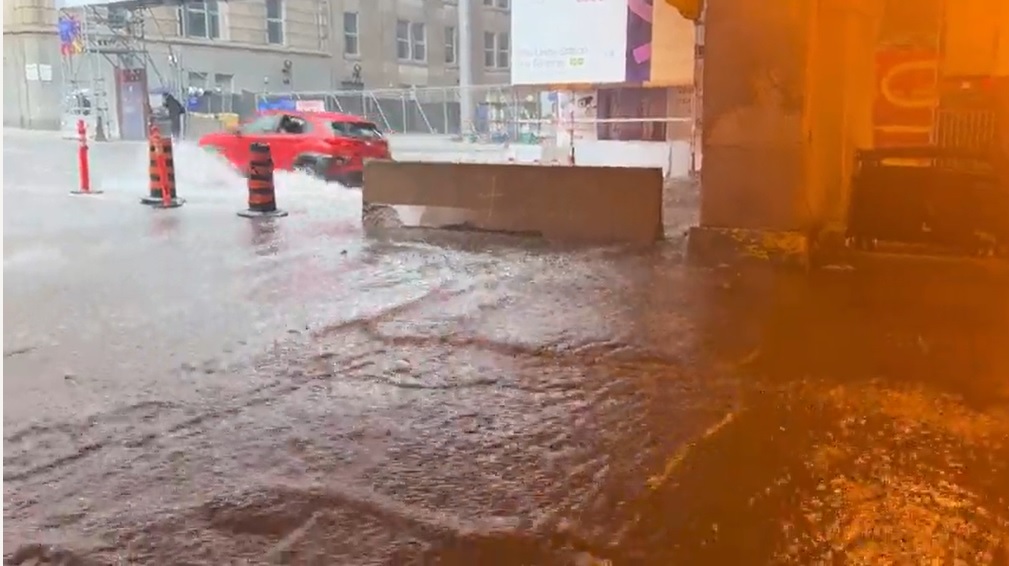
Flooding was reported in Toronto and parts of the GTA as the heavy rain moved into the area on Tuesday morning.
“The ground, already near saturation, has little ability to absorb further rainfall,” the National Weather Agency stated in its warning, adding rainfall rates of 40 millimetres within an hour were possible.
Several roadways are flooded, including parts of the Gardiner Expressway, Don Valley Parkway, Lake Shore Boulevard and highways 400 and 401. In Peel Region, police received reports of manhole covers lifting due to large amounts of rain.
“Abandon stalled cars if water is rising rapidly. Rapidly rising rivers and creeks can sweep away bridges, culverts, buildings, and people. Keep children and pets away from creeks and river banks,” Environment Canada added in its warning.
Transit service was also impacted as some TTC stations and sections of subway lines 1 and 2 were shut down and surface routes were diverted due to flooding. GO Transit said the heavy rainfall could lead to some buses and trains being delayed or cancelled.
The Toronto and Region Conservation Authority (TRCA ) issued a flood warning as some watersheds in its jurisdiction have already received up to 70 millimetres of rain over a three-hour span, flooding some low-lying areas.
“Any additional forecasted precipitation will run off, leading to rising water levels in water bodies and watercourses within the TRCA jurisdiction.”
The City of Toronto said they have received around 350 calls for basement flooding.
Ramsahai said as the showers taper off and the sun moving in, the temperature will climb to 29 C with the humidex soaring to 40.
Rainfall warnings and thunderstorm watches were issued for the GTA as another day of hot and humid conditions brought heavy downpours and risk of storms for the region. All warnings and watches have ended.
On Monday, downpours and thunderstorms led to flooding in some areas across the GTA.
Environment Canada had previously issued a heat warning for most of southern Ontario over the weekend. That alert ended Monday.
Refreshing air is forecasted for Wednesday and the rest of the week with temperatures ranging from the mid- to high-20s.
For a look at your extended forecast, and to sign up for the Weather Guarantee Contest, click here.