Winter-Like Temps. Hang Around But Things Get Better Later In The Week
Posted March 23, 2009 12:00 pm.
This article is more than 5 years old.
The last few days of winter were more like spring.
The first few days of spring are more like winter.
All of which only fits the pattern of the past season, which has seen many record highs and even more extreme cold weather alerts than in previous years.
If you’re just getting back from March Break, you missed an incredible stretch of weather back home. Temperatures were in the double digits much of the week and it felt even warmer thanks to non-stop sunshine.
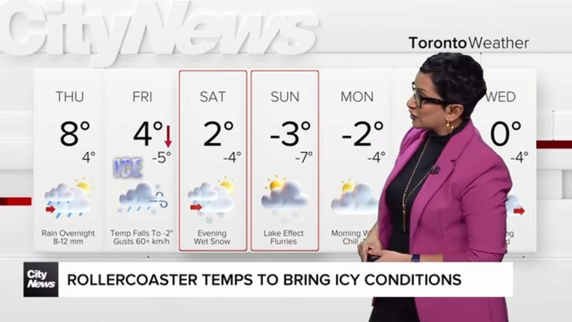
Everything is back to normal now – except the forecast, which for the next two days will see temperatures below what they should be for this time of year. But better conditions are on the way for later in the week.
Monday started out cold, and those up before sunrise were dealing with a bitter north breeze and wind chills near -12. We’ll be hard pressed to reach 2C during the day and that won’t come until the late afternoon. We should be near 7C at this time of year. The good news is a high pressure system will keep skies clear and we’ll get sunshine all day.
It will stay sunny but cool on Tuesday, with a high of just 4C. A new disturbance will make its way in late that night and we’ll be into showers by Wednesday and just a degree warmer.
Things get better for an overcast Thursday and a sunny Friday, with highs both days of 10C. The weekend looks to be cooler, with rain on Saturday, possibly mixed with some snow by Sunday.
Temperatures are gradually going to improve and we’re a lot better off than we were last March. In 2008, we were in the middle of a very snowy month, with more than 35 cm on the ground. So far this year, we’ve received just 0.6 cm – and there’s just over a week left to go before April arrives.
See the current conditions in your area
