Toronto could break record high temps after rainy, windy morning
Posted December 30, 2019 5:22 am.
Last Updated December 30, 2019 12:24 pm.
This article is more than 5 years old.
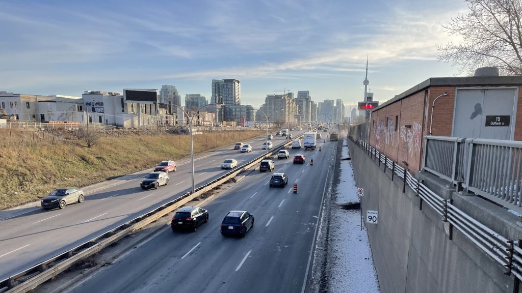
A day that started with freezing rain warnings across parts of the GTA could end up breaking record high temperatures in Toronto.
It was a slick drive on Monday morning, as another wave of freezing rain continued through areas such as Caledon, Orangeville and southern Dufferin County.
Environment Canada says from Sunday night into Monday morning, ice accretion or build-up of 10 to 15 millimetres was possible.
Here in Toronto, winds belted through the city overnight and continued through the morning – getting up to 40 kilometres an hour – along with steady showers.
But the weather began to calm down as the lunch hour approached, bringing with it sunshine and warm weather.
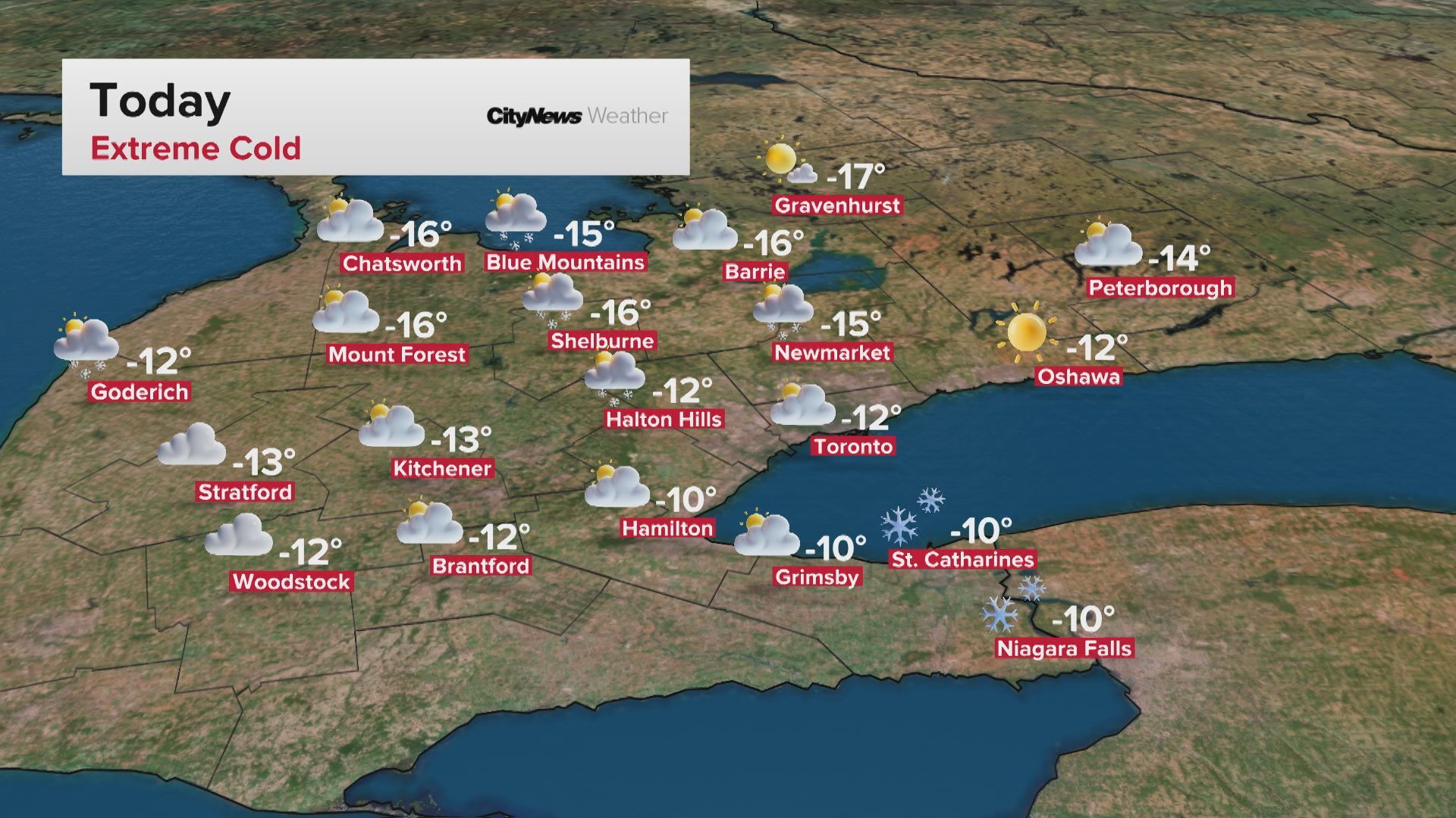
Seasonal daytime highs for December 30 usually come in around -1 C but we could see temperatures close to 8 C today — which would make it the warmest Dec. 30 on record.
So get out and enjoy it while you can.
Meteorologist Natasha Ramsahai says winter returns for New Year’s Eve.
“We’ve got some flurries incoming overnight tonight and even one to three centimetres of snow through tomorrow morning,” she explained.
“Good news is it should taper off in time for New Year’s Eve.”
January 1 is expected to be closer to seasonal temperatures with flurries, but then there’s expected to be a big drop.
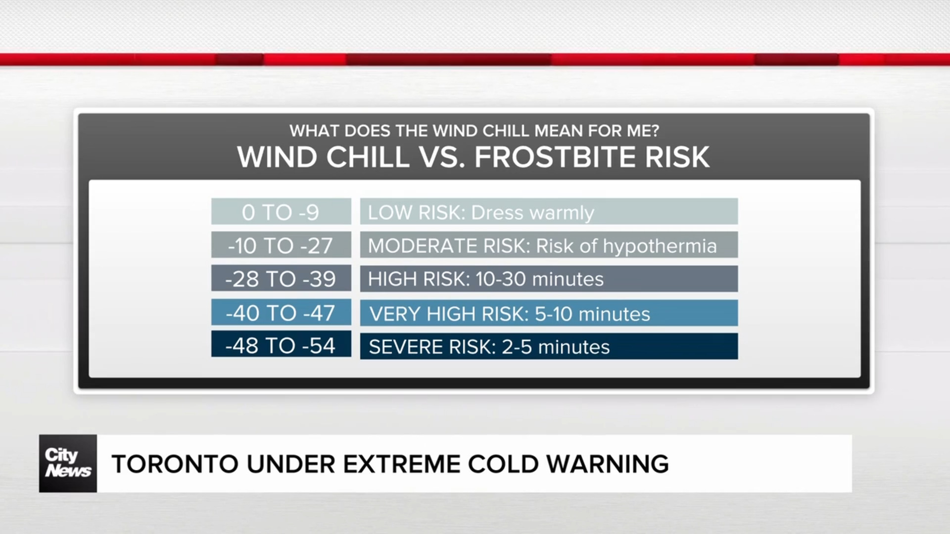
“The week of January 1st – the full week of January when the kids head back to school – we could be back into wind chills of -13.”


