Cold, snowy start to winter on the way: The Weather Network’s forecast

Posted November 29, 2022 8:39 am.
Last Updated November 29, 2022 11:46 am.
The Weather Network is out with its winter preview and is forecasting a cold start to the season in southern Ontario with the potential for heavy snow.
“We expect a quick start to winter, with colder-than-normal temperatures dominating into the holidays and a few more rounds of heavy lake-effect snow,” says the network’s meteorologists.
The network says the colder and snowier weather can be attributed to a La Niña – a weather pattern characterized by cold ocean temperatures in the equatorial Pacific Ocean.
Despite the initial cold hit, temperatures in southern Ontario are expected to be near normal for most of the season.
“Winter will take a break at times during January and February with the potential for an extended thaw across southern areas,” reads the network’s forecast. “An active storm track should bring above-normal precipitation totals to the region, including an abundance of snow for ski areas.”
The outlook predicts several weather systems will bring a messy mix of snow, ice, and potentially rain at times.
Chief meteorologist Chris Scott says January and February will be pivotal months in deciding whether this winter will be exceptionally cold and snowy, noting forecasters will have a better sense of what to expect during those months near the end of December.
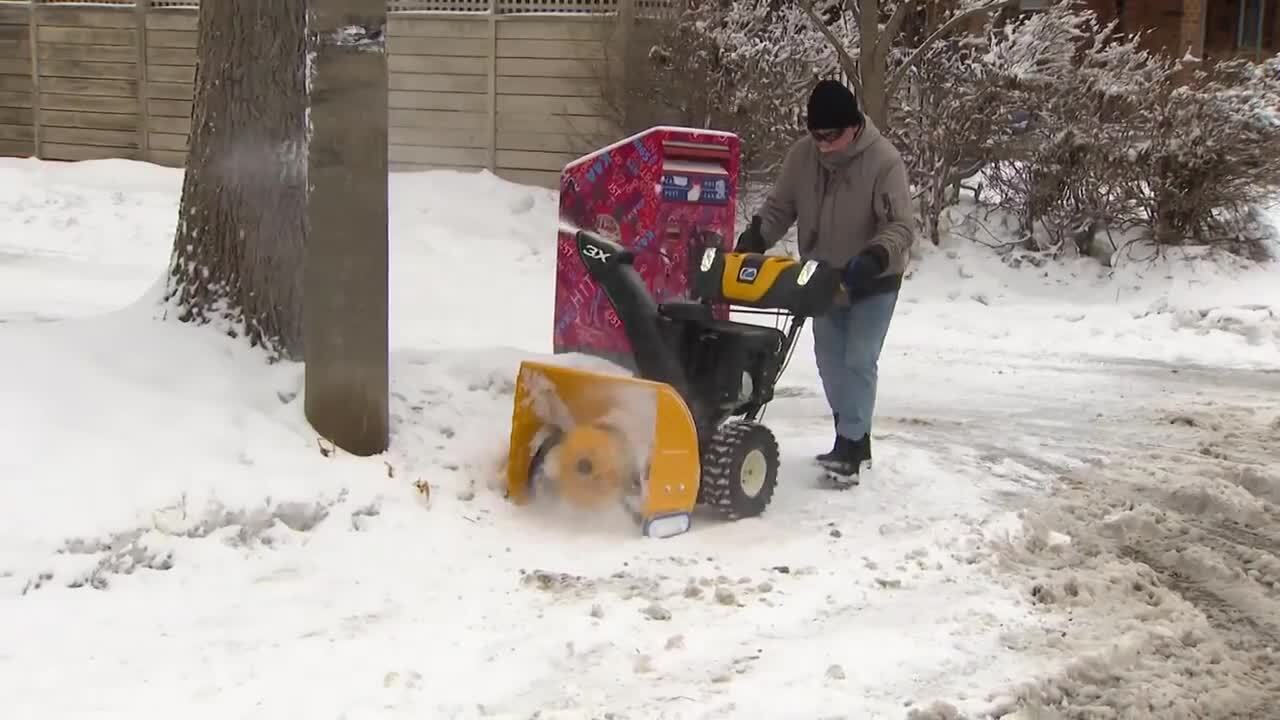
Lake-effect storms already dumped a record-setting amount of snow on some communities in southern Ontario last week.
Strong start to winter season anticipated across Canada
It is the third straight year Canada’s winter weather pattern has been driven by a La Niña.
“This is just the fourth time on record we’ve seen a La Niña event persist for three consecutive years,” the network says.
“We expect that the national weather pattern will look like what we often see during La Niña winters, with frigid weather found across western Canada and milder temperatures from the Great Lakes to Atlantic Canada.”
Scott says abundant alpine snow from a couple of early storms will set British Columbia up for an excellent ski season, while predicting the Prairies will be the coldest part of the country this winter.
Atlantic Canada is currently expected to buck the national trend of a cold and snowy start to winter, with the Weather Network forecasting above normal temperatures for southern and eastern parts of the region and near normal temperatures elsewhere.
Canada’s North is expected to see colder than normal temperatures across southern parts of Nunavut, the Northwest Territories and Yukon, but milder conditions across eastern parts of Nunavut and seasonally average temperatures elsewhere.
With files from The Canadian Press


