Summer heat to morning frost: Toronto braces for wild weather swing this week

Posted April 28, 2025 8:54 am.
Last Updated April 29, 2025 8:22 am.
From summer-like temperatures to morning frost, Mother Nature is set to throw Toronto and GTA residents a major weather curveball this week.
As Monday came and went with above-seasonal conditions, temperatures are forecasted to reach 24 C in Toronto on Tuesday, roughly 13 C above seasonal for this time of the year.
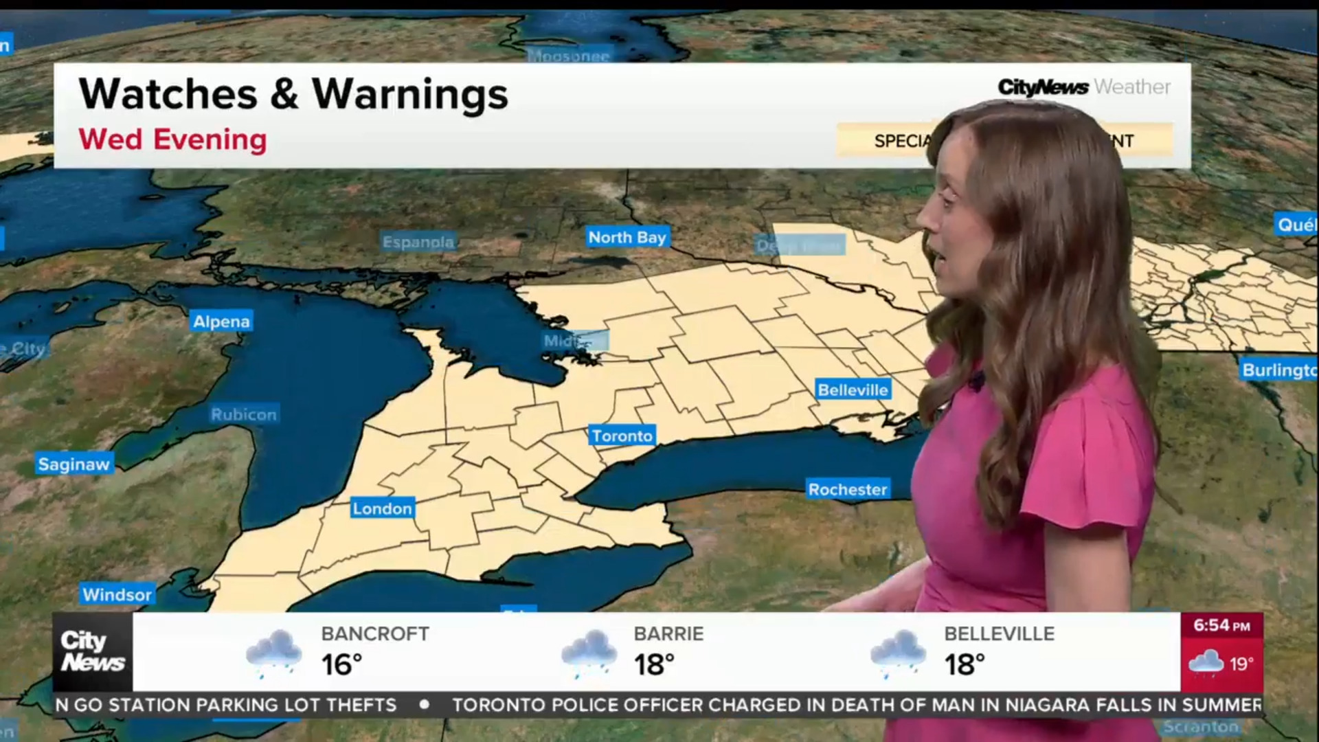
Tuesday’s humidex value in Toronto will make it feel more like 28, with Environment Canada warning of a chance of strong thunderstorms developing in the afternoon. The UV index will also be high, likely registering at 7.
The conditions will rapidly shift late on Tuesday and overnight into Wednesday, with considerable temperature drops of 7 C between 10 p.m. and 1 a.m. By the time Toronto residents wake up on Wednesday morning, we’ll be looking at temperatures in the 2 C range, though it will feel more like -1 with the wind chill.
The good news is that Wednesday is forecast to be sunny, which will see temperatures rise to 10 C for the high. It will drop to 6 C by nightfall.
Second temperature swing to be felt by the end of the week
Thursday will still be below-seasonal in Toronto, with a forecasted daytime high of 9 C. Environment Canada expects that day to be a washout, with up to 15 millimetres of rain possible.
Friday’s temperatures could increase to a daytime high of 16 C in Toronto, with more rain on the way to kick off the first few days of May.
Toronto’s long-term forecast, which includes the weekend, is promising, with sunny skies and daytime highs of 11 C and 16 C expected on Saturday and Sunday.
Click here to sign up for the CityNews Weather Guarantee and to view details on the extended forecast.