Winter storm slams southern Ontario as Toronto sees 26 cm of snow
Posted February 13, 2025 5:34 am.
Last Updated February 13, 2025 5:04 pm.
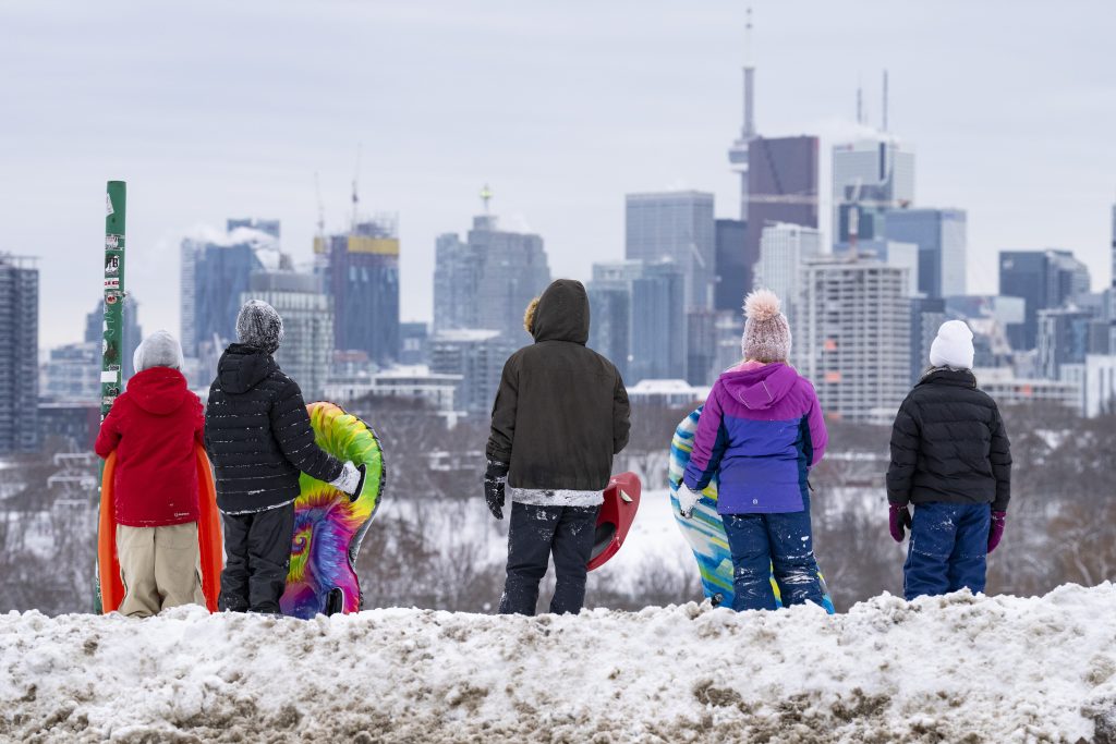
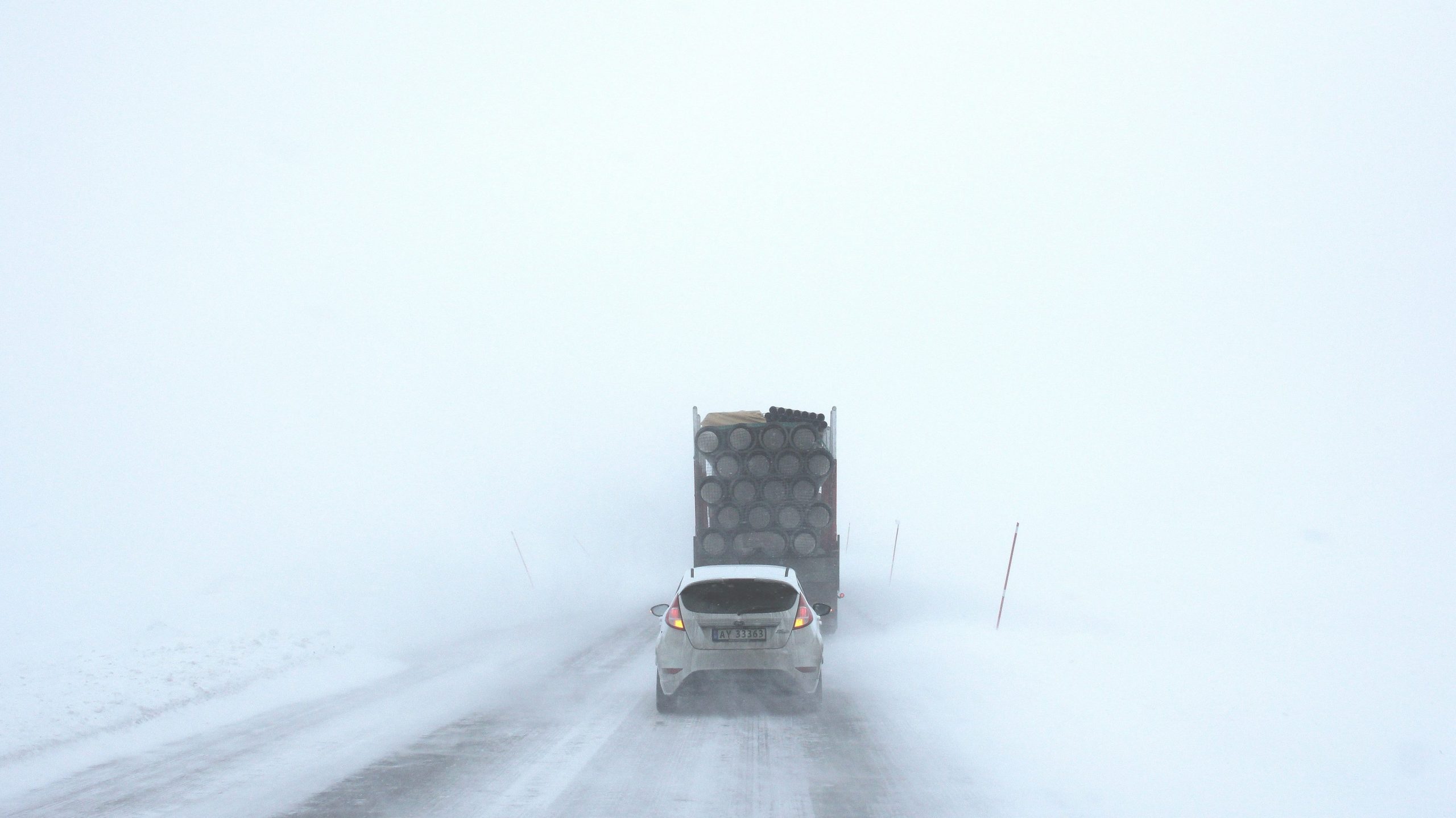
Southern Ontario experienced a potent, mid-week winter storm, with whiteout conditions worsening rapidly overnight into Thursday with more than 20 centimetres of snow confirmed in Toronto and the surrounding GTA.
There were sweeping school bus cancellations and closures, leading to a treacherous morning commute for many on Thursday. Provincial police confirmed numerous collisions overnight, with vehicles stuck in snow drifts in Toronto and the GTA.
Environment Canada says it measured 26 cm of snow at Pearson International Airport with downtown Toronto seeing accumulations of 21 cm, marking the GTA’s largest two-day snowfall event since 2022.
According to snow totals published by the weather agency on Thursday afternoon, Etobicoke received the brunt of the storm with 26 cm while Scarborough saw 23 cm of snowfall. Mississauga and North York received 21 and 20 cm, respectively.
Vincent Sferrazza, the Director of Transportation Operations and Maintenance for the City of Toronto, said that planning and strategy went as planned but noted that complete snow removal will begin on Monday, and some hot spots will be targeted on Friday.
Due to the snow storm, dozens of departing and arriving flights at Toronto Pearson International Airport have been delayed or cancelled. Airport officials are advising travellers to check their flight status before leaving for the airport.
There could be more snow on the way
Toronto and GTA residents will get a temporary break on Friday, but another winter storm could impact the region over the weekend. A Colorado low is forecast to track just south of the area, bringing widespread snowfall to southern Ontario on Saturday.
Though subject to change, snow is forecasted to fall early Saturday morning, with 8 cm possible by the afternoon. An additional 5 to 10 cm of accumulations could be observed in the evening, and snow will continue overnight into Sunday.
It’s too early to determine the precise impact of the weekend snowstorm. Still, forecasters expect up to 20 cm of additional snow to fall in Toronto by Sunday, making Family Day weekend a challenging few travel days.
Saturday’s daytime high is forecasted to be -2 C, though it will feel closer to -5 with the wind chill in Toronto. It will be even colder in Toronto on Sunday, with a forecasted daytime high of -6 C, but it will feel more like -13.
Strong winds, lake-effect snow, and frigid wind chills will persist through Monday’s holiday. Click here to stay updated on province-wide weather alerts.
Visit here to sign up for the CityNews Weather Guarantee and to check out Toronto’s extended forecast.