Up to 25 mm of rain possible for Toronto, GTA as flooding risk heightens
Posted March 4, 2025 5:12 am.
Last Updated March 5, 2025 11:17 am.
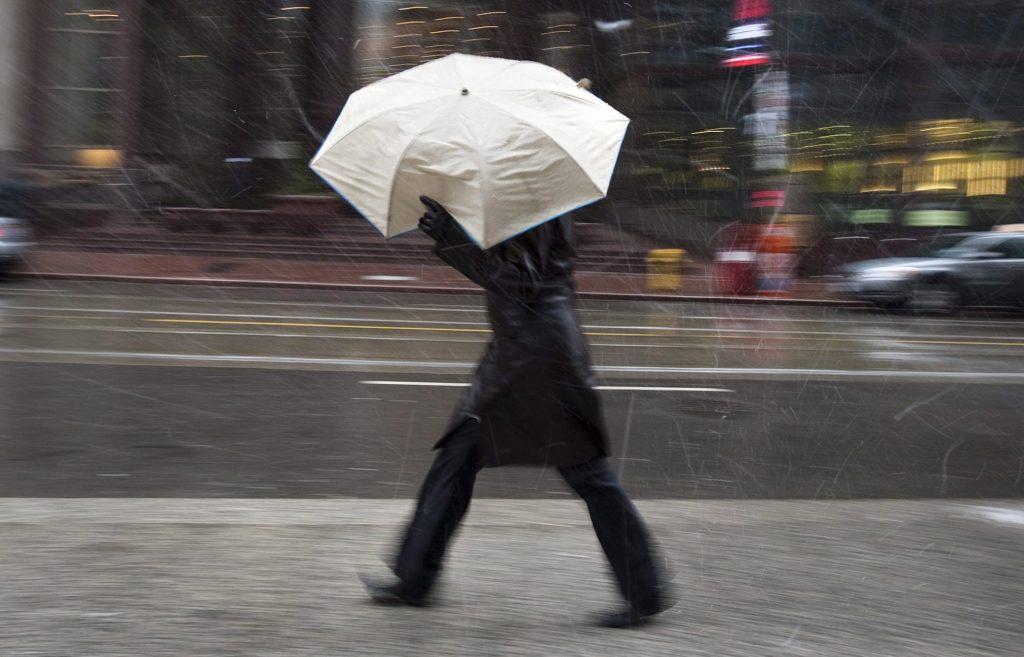
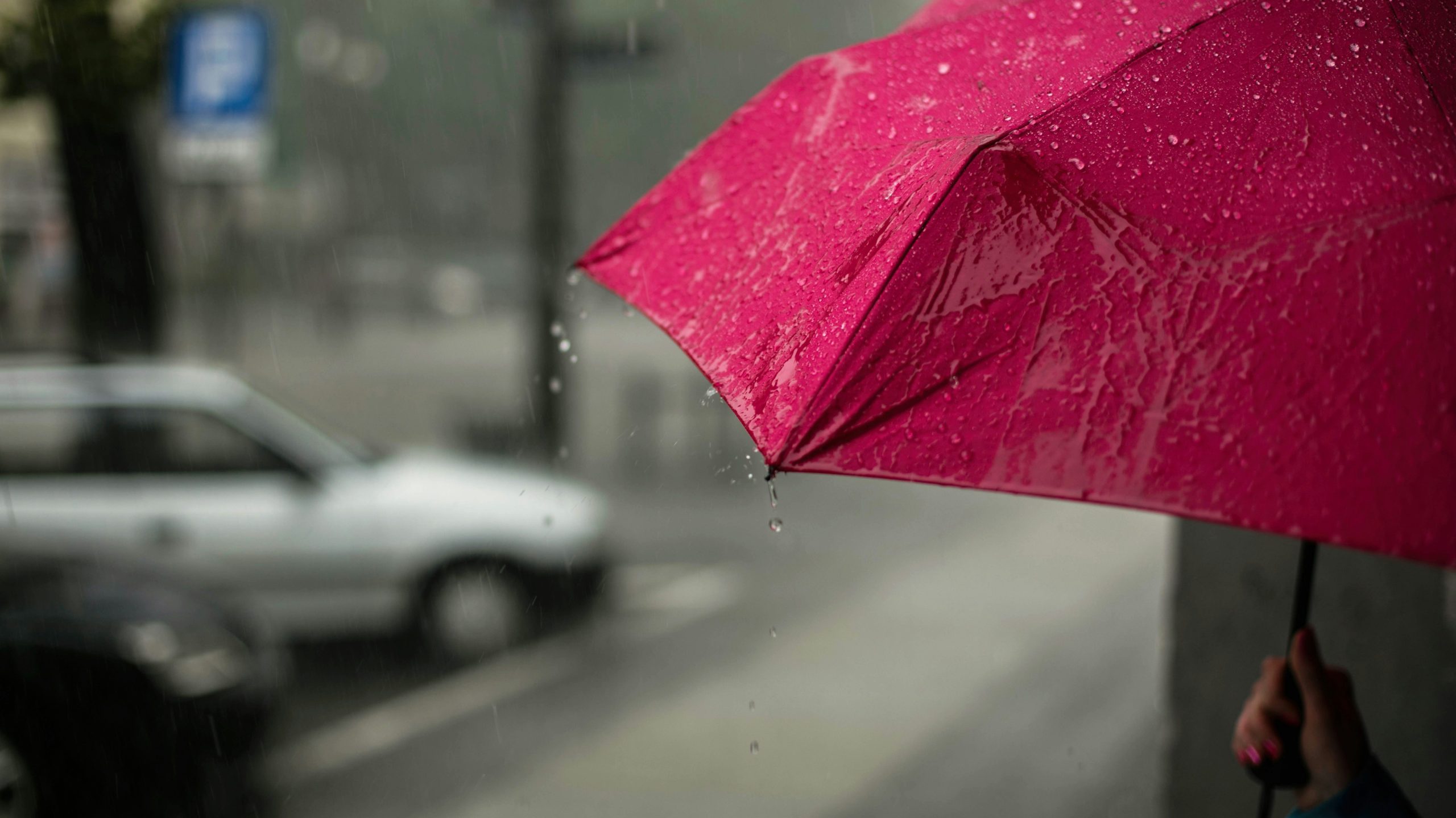
A washout is expected in Toronto and the GTA on Wednesday due to heavy rain, which has elevated the risk of localized flooding in several areas.
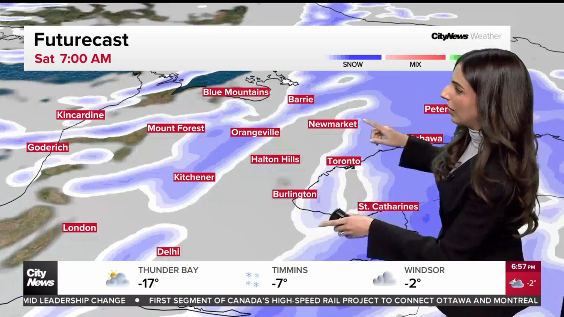
Environment Canada says isolated thunderstorms are possible, with 15 to 25 millimetres of rain in the forecast for Toronto.
“This rainfall, combined with melting snow and the limited ability of the frozen ground to absorb the rain may lead to localized flooding in low lying areas and water pooling on roads,” Environment Canada said.
Ontario started to emerge from the deep freeze on Monday, with a sudden warm-up driven by an approaching system from the U.S.
“Rapidly falling temperatures with rain changing to snow resulting in surfaces becoming icy and slippery. Westerly to northwesterly winds gusting 60 to 80 km/h,” Environment Canada said.
Mississauga, Brampton, Burlington, Oakville, Hamilton, Halton Hills, Milton and Kitchener are among the other local regions covered by the special weather statement.
“Rain through this evening. Rapidly falling temperatures with rain changing to snow tonight into Thursday morning. Gusty winds Thursday morning to early Thursday evening,” Canada’s weather agency added.
Rain to hit hard on Wednesday in Toronto, GTA
The washout is expected on Wednesday, as the rain will pick up overnight and become heavier by 5 a.m. and continue into late Wednesday night.
Parts of cottage country, including Barrie and Parry Sound, could receive up to 30 mm of rain when it’s all said and done.
Meanwhile, winter storm warnings are in effect for parts of northern Ontario, where heavy snowfall and reduced visibility are expected to affect travel.
“For information concerning flooding, please consult your local Conservation Authority or Ontario Ministry of Natural Resources and Forestry office,” Environment Canada wrote in its alert for Toronto.
Toronto’s daytime high for Tuesday was 4 C, while Wednesday’s temperatures will reach the 5 C mark.
As the rain storm moves east out of the province on Thursday, temperatures will drop significantly, causing rainfall to transition into blowing snow across parts of southern and eastern Ontario. Torontonians will wake up to 1 C temperatures on Thursday, though it will feel more like -5.
Temperatures will gradually drop throughout the day, and by 4 p.m. on Thursday, it will hit -4 C with a wind chill of -12. Colder-than-normal temperatures are expected in Toronto through the weekend but are forecasted to trend much milder next week.
Click here to sign up for the CityNews Weather Guarantee and see details on the extended forecast.