Showers with a risk of thunderstorms expected to hit Toronto on Sunday: Environment Canada
Posted March 14, 2025 6:15 pm.
Last Updated March 16, 2025 2:40 pm.
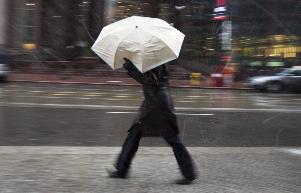
Environment Canada has issued a special weather statement for Toronto and the surrounding regions, calling for accumulations of up to 20 mm of rain in some areas and a risk of thunderstorms.
It says that with the frozen ground having a reduced ability to absorb rainfall, that could cause localized flooding in low-lying areas and water pooling on roads.
The Toronto and Region Conservation Authority says that while it doesn’t anticipate widespread flooding, local ponding or pooling of water in areas with poor drainage can be expected.
It says the combination of rain and already partially thawed or wet soil conditions will result in increased water levels and flows within rivers for the next couple of days and that shorelines, rivers and streams in the GTA should be considered dangerous.
“If you are under this region, you’re looking at very strong winds and also some locally heavy rainfall, also the risk of thunderstorms throughout this weekend,” explained CityNews meteorologist Jesse Uppal.
Despite spring-like temperatures in the high-teens this weekend, southerly winds will shift to westerly with the passage of a cold front Sunday afternoon, kicking up strong wind gusts of between 60 to 80 km/h.
“By Monday morning, we’re below that freezing mark,” says Uppal.