Fog advisory in effect for Toronto as isolated showers possible overnight
Posted August 31, 2026 9:04 am.
Last Updated August 31, 2026 10:01 pm.
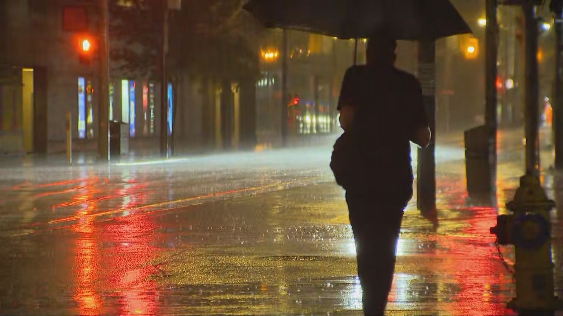
A special weather statement from Environment Canada that warned of showers and thunderstorms has ended for Toronto and parts of the GTA although there is a potential for some more overnight.
Some neighbourhoods have already received up to 25 millimetres from this morning’s rainfall. Another round of showers and thunderstorms was expected to bring an additional 20 to 30 mm.
Monday night stays cloudy and while widespread showers will taper off towards the later part of the evening, there is a chance of isolated thunderstorms and showers overnight. There is also a possibility of heavier rain in some areas and a mild low of 20°C.
A yellow fog advisory has also been issued for Toronto, Vaughan–Richmond Hill–Markham, Peel-Halton and Pickering–Oshawa–Southern Durham with near-zero visibility expected in some areas that is expected to persist into Tuesday morning.
Temperatures to soar mid-week in Toronto
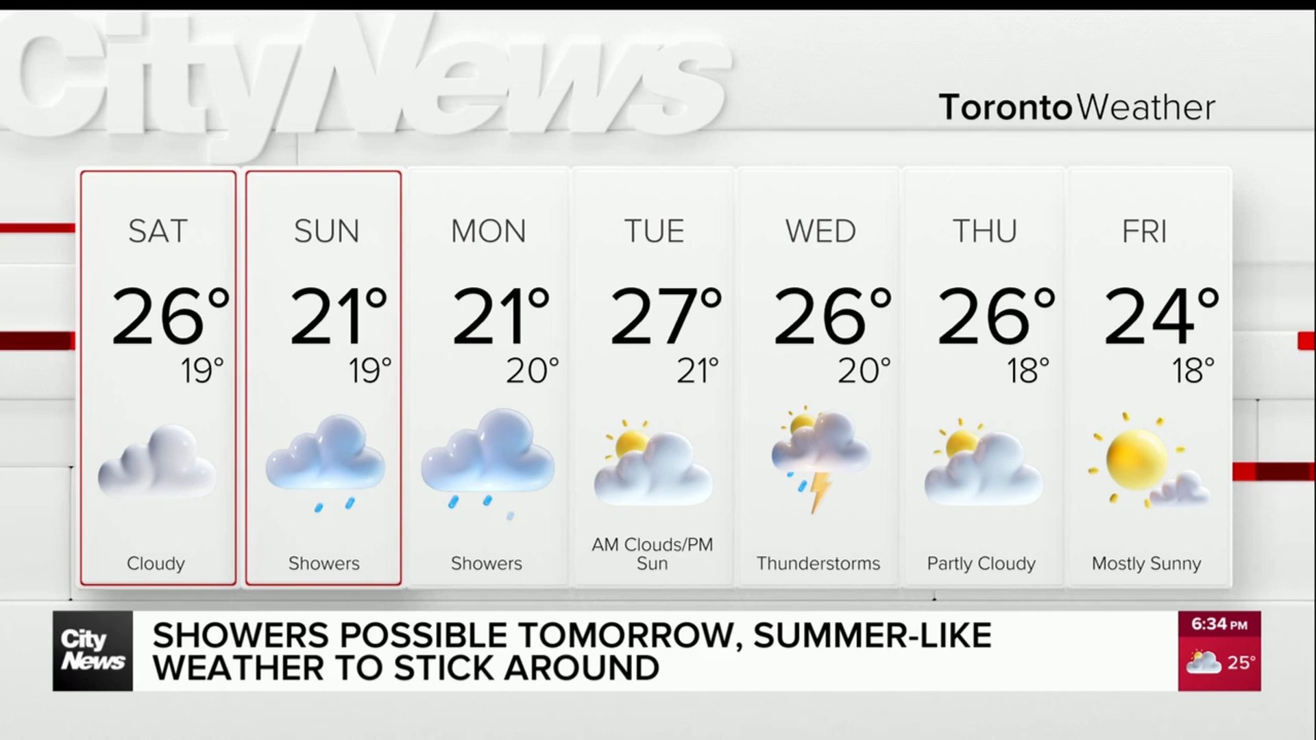
Tuesday brings a mix of morning cloud and afternoon sunshine before another round of showers and thunderstorms becomes possible late in the evening. It will be very humid, with a high of 28°C and a humidex near 36, marking a stuffy start to September.
Wednesday remains unsettled, with morning showers and an isolated thunderstorm possible. Skies stay mostly cloudy and humidity lingers, with a high of 28°C and a low of 17°C. Thursday continues the cloudy trend with a chance of early showers and a high near 26°C.
For context, Toronto’s normal late‑August high is 23°C, with a typical low of 14°C. The city’s record high for this date is 33.7°C, set in 2010.
Click here for details on Toronto’s extended forecast and to sign up for the CityNews Weather Guarantee, with a current jackpot of $5,600.