Toronto’s spring kicks off with wintry blast, messy commutes

Posted March 19, 2024 5:14 pm.
Last Updated March 19, 2024 8:33 pm.
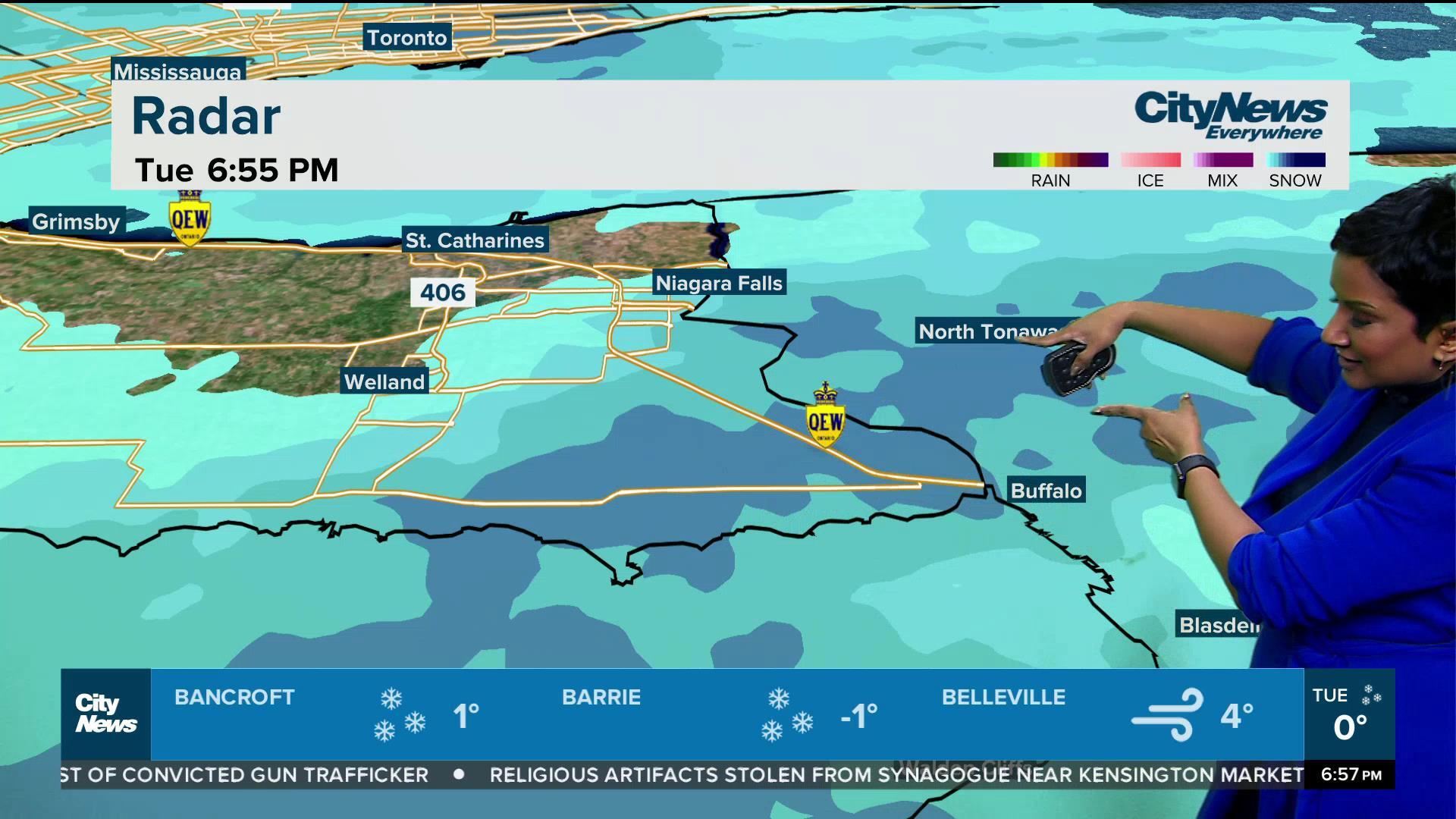
While Tuesday marks the first official day of spring, you wouldn’t guess it, as the forecast for the next 24 to 48 hours features persistent flurries and winds that will gradually become stronger by tomorrow evening.
Mother Nature has kept Toronto and GTA residents guessing this month after much of southern Ontario was treated to warmer-than-usual temperatures and even patio weather last week, with daytime highs surpassing 20 C in the city.
This week has been anything but pleasant. A cold streak has returned, paving the way for flurries that have stuck around for much of Tuesday. CityNews meteorologist Natasha Ramsahai says temperatures could drop even further by Wednesday evening, leading to more snow.
“Flurries will taper off, but they are back tomorrow,” Ramsahai said. “They will be on and off throughout the day. It looks like by the afternoon, snow squalls will develop in parts of cottage country and the traditional snow belts. Some of those might be driven in the GTA, so watch for slow afternoon travel in some spots.”
Temperatures will hover around -1 C overnight into Wednesday morning, with it feeling more like -6 C. There is a chance of blowing snow in Toronto by tomorrow evening, which could impact Wednesday’s commute.
There is still some uncertainty about how much snow could fall, though winds will be strong in Toronto, with gusts of 40 to 70-plus km/h becoming widespread by the afternoon.
Temperatures will then dip even more by Wednesday overnight into Thursday, with it coming in at -6 C and it feeling more like -14 C with the wind chill.
While there will be a mix of sun and clouds on Thursday, we’re looking ahead to another system that could bring 5 cm of snow to Toronto and the GTA by Friday.
For your latest forecast and weather updates and a chance to enter the CityNews Weather Guarantee, visit here.


