Weather alerts lift in Toronto, GTA but bitter cold here to stay
Posted February 18, 2025 5:45 am.
Last Updated February 19, 2025 5:09 am.
As Toronto and much of the province dig out from a historic weekend of snowfall, bitterly cold temperatures will dominate the forecast for much of the week.
Environment Canada issued a winter weather travel advisory for the city on Tuesday afternoon, lifted by Wednesday’s early morning hours. Additional local snowfall amounts of 5 cm were expected In parts.
Three consecutive storms significantly impacted Ontario and the GTA, with Toronto accumulating 60 cm of snow in just one week. As of Feb. 17, the city’s snowpack measures 50 cm deep—the second-highest on record and the deepest since Jan. 15, 1999.
The city says multiple rounds of plowing are still needed. Officials say snow removal will begin over the coming days and could take up to three weeks to complete. Hospitals, main streets, transit stops, school bus loading zones and sidewalks get the first priority.
Most weather alerts across Ontario are gone as of Wednesday morning, except for a snow squall warning in Saugeen Shores-Kincardine-Southern Bruce County.
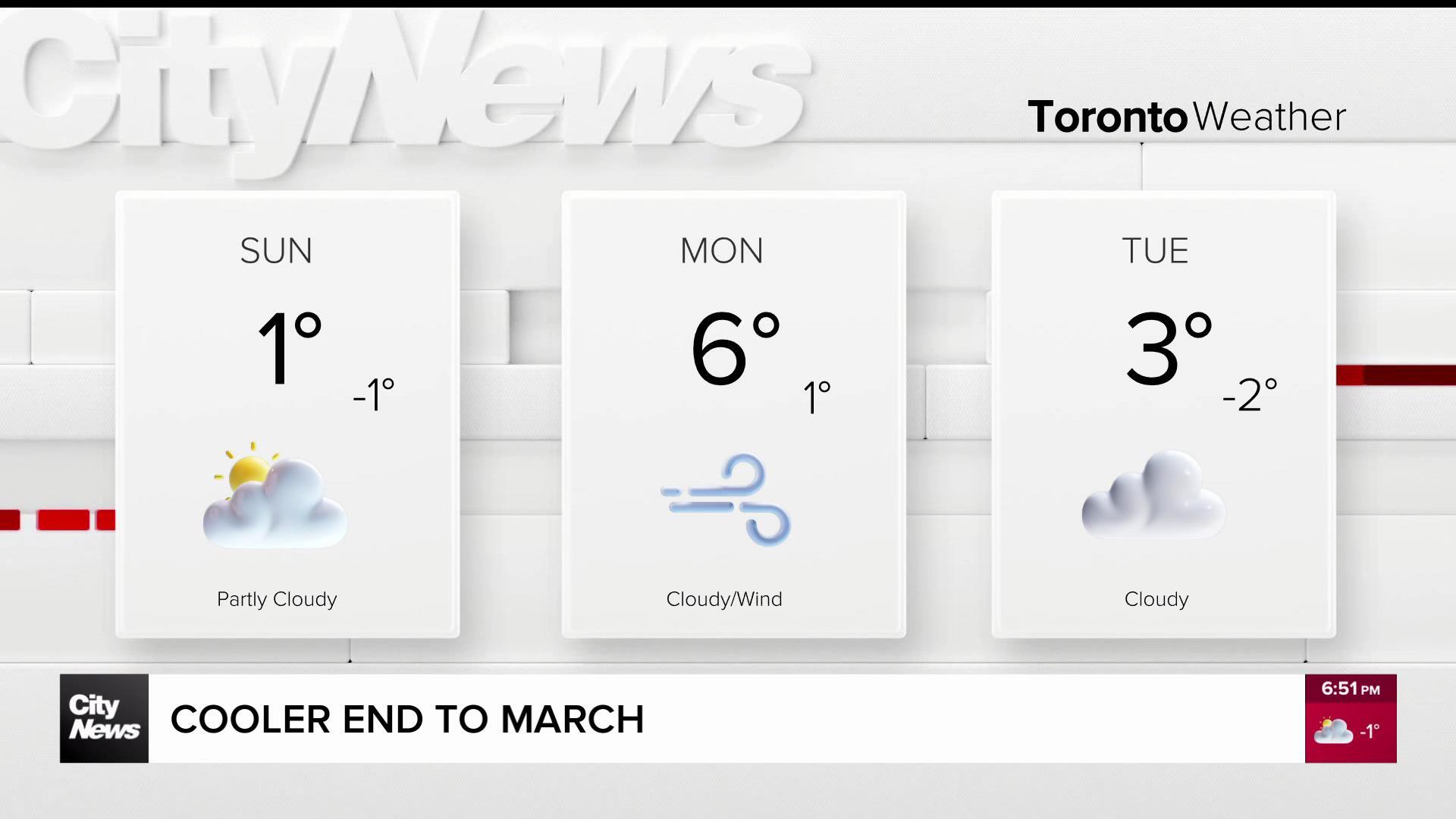
Tuesday felt closer to -16 with the wind chill. Wednesday morning will be particularly nippy, as we’re looking at -16 C temperatures and a wind chill that will make it feel like -22 in Toronto.
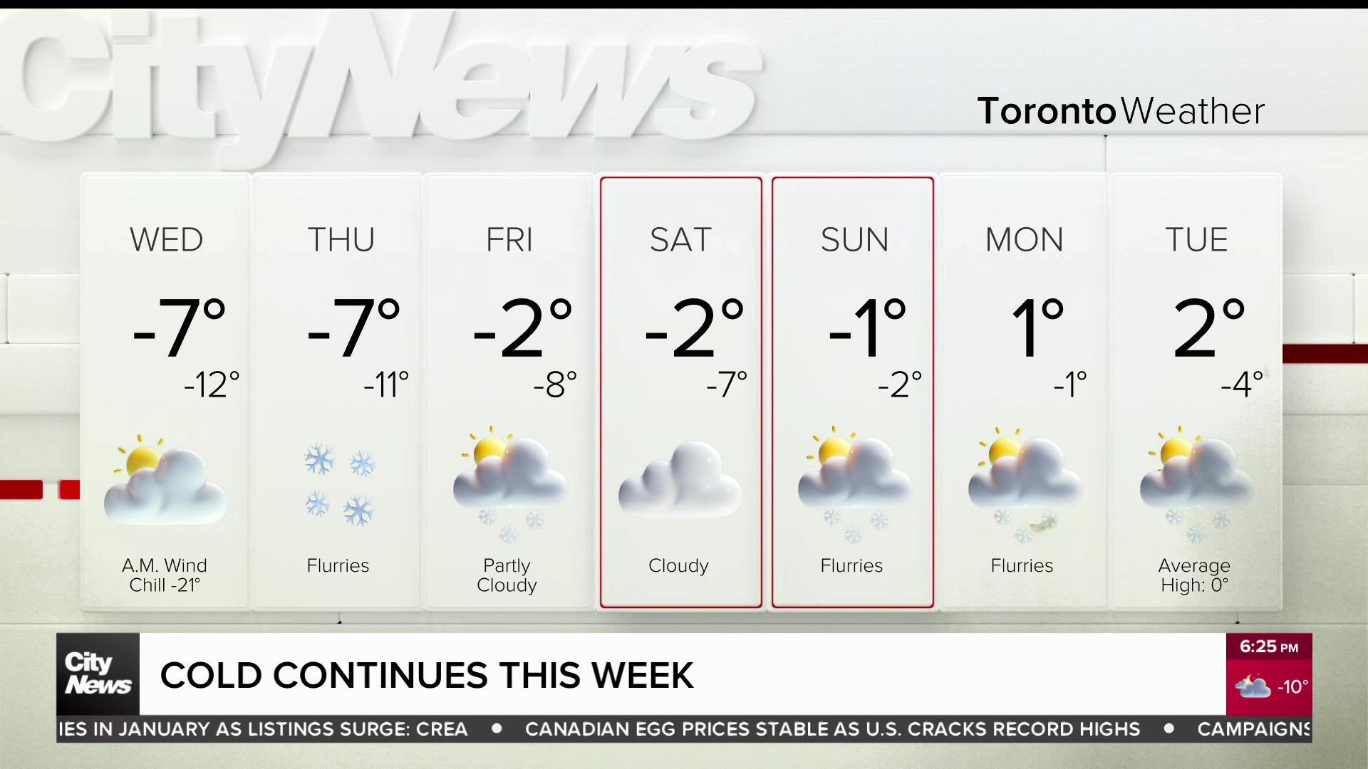
There is a chance of scattered flurries throughout the day on Thursday, with a forecasted high of -8 C. It will feel more like -15 with the wind, with similarly cold temperatures set for Friday in Toronto (-7 C but feeling like -14 during the day).
Toronto’s extended forecast offers some promise, as temperatures could gradually climb by the weekend and into next week, potentially at around the freezing mark or above that.
Click here to sign up for the CityNews Weather Guarantee and to observe the long-term forecast.