Snow squall warning in effect for the GTA as the region braces for dangerous cold
Posted January 19, 2026 6:06 am.
Last Updated January 19, 2026 10:13 pm.
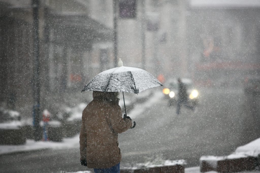
Toronto is heading into one of its harshest stretches of winter so far, starting tonight with a yellow snow squall warning extreme cold, and biting wind chills expected to disrupt commutes and push temperatures to their lowest point of the season.
Environment Canada has issued the yellow warning for Toronto and the GTA as up to five centimetres is expected to drop overnight. Visibility will also be affected by the squalls and blowing snow. The impact is expected to be moderate.
Monday night is expected to turn sharply frigid, with temperatures dropping to –15°C and a wind chill near –25.
Blizzard and snow squall alerts are also in effect for several regions across southern Ontario, including Barrie, Caledon, Guelph, Kitchener, Newmarket, Orillia, and Peterborough. Those areas could see hazardous whiteout conditions and rapidly accumulating snow.
The City of Toronto says additional Warming Centres will open at 5 p.m. on Monday due to the extreme cold. New locations include:
- Cecil Community Centre, 58 Cecil Street
- Jimmie Simpson Recreation Centre, 870 Queen Street East
Previously opened Warming Centres remain available.
Next round of impactful snowfall expected mid-week
The cold tightens its grip on Tuesday. Another frigid afternoon is in store, with a high of –10°C and wind chills around –20. A mix of sun and clouds will dominate the sky, with a slight chance of flurries as winds continue at 20 to 40 km/h. Overnight lows fall to –12°C.
A more organized system arrives on Wednesday with an Alberta Clipping bringing periods of snow and the potential for 5-10 cm across the GTA, starting around 8-9 a.m. and tapering off by around 7 p.m.
Winds shift at 20 to 40 km/h, and temperatures briefly moderate to a high of –1°C before dipping back to –7°C overnight.
For Toronto, the bigger story may be what comes after Wednesday. Forecasters warn the longest cold stretch of the season is expected to begin Thursday, with extreme cold likely to dominate the final week of January.
The coldest temperatures of the year are expected this weekend, possibly initiating Extreme Cold Warnings with overnight lows dropping into -20°C territory.
Sunday morning’s wind chills are expected to dip to near -30°C.
Click here to sign up for the CityNews Weather Guarantee and to check out Toronto’s extended forecast.